What is recorded here
Situated on the broad rise at the S edge of the plateau of the Porch Field of Trim. The vegetation mark of a small enclosure (diam. c. 10m) defined by a single fosse feature is visible on Google Earth (14/07/2018). It is also visible on OSI images (1995). Archaeological testing (08E0510) by M. Seaver in this vicinity on the E side of the ring-road (excavations.ie 2008:991) produced evidence of the furrows of the porch-field (ME036-048054-) but no evidence of this feature.
Compiled by: Michael Moore
Date of upload: 9 July, 2019
Amended: 29 January 2021
The monument record does not grant public access. Check the route and ask the landowner before entering private land.
- What survives
- Recorded monument
Places near here
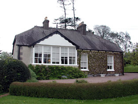 The Cottagehouse · 352 yd
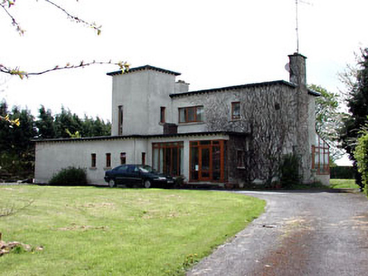 White Lodgehouse · 354 yd
 Fortification in Manorland (1st Division)Fortification · 498 yd
 Trim CastleCastle, Anglo-Norman masonry castle · 510 yd
 CastleCastle, hall-house · 517 yd
 Newtown AbbeyCathedral · 742 yd
 Saints IslandForest · 3.5 mi
 Small-leaved ElmSmall-leaved Elm · 3.5 mi
 Kilgar GardensHeritage attraction · 9.0 mi
 MullaghMountain / peak · 9.1 mi
 Old Bog Road made famous by Teresa Bryton 1868-1943Memorial · 9.2 mi
 Larchil Arcadian GardensHeritage attraction · 9.4 mi