What is recorded here
Situated on a slight S-facing slope. A geophysical survey (09R207) identified numerous potential archaeological features in a development site of about 18 ha (c. 45 acres). Archaeological testing (09E0544) confirmed a circular ring-ditch (int. diam. c. 3m) defined by a shallow fosse feature (Wth c. 0.5-1m), which produced a small sherd of what may be prehistoric pottery. There are some pits in the vicinity. (Walsh 2010, 13; 2012)
Compiled by: Michael Moore
Date of upload: 4 April, 2019
The monument record does not grant public access. Check the route and ask the landowner before entering private land.
- What survives
- Recorded monument
Places near here
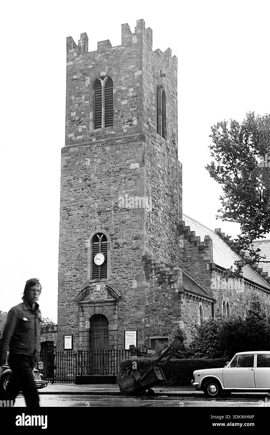 Irishtown WoodWood · 677 yd
 Curraghmore WoodForest · 997 yd
 Tober UltanHoly well · 1100 yd
 Enclosure in LackmelchEnclosure · 1621 yd
 CastleCastle, motte · 1.3 mi
 BoglandMemorial · 1.7 mi
 CloncatMountain / peak · 2.0 mi
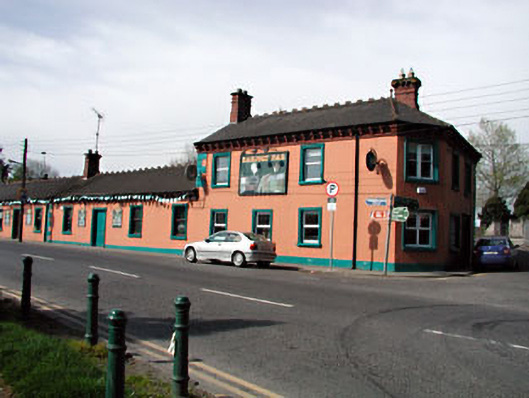 Railway Househotel · 2.0 mi
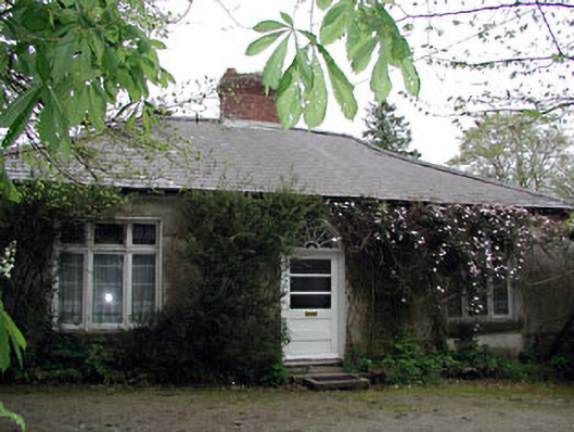 Westfield Cottagehouse · 2.0 mi
 James CarolanMemorial · 2.2 mi
 Causey FarmHeritage attraction · 2.2 mi
 FarmaphobiaHeritage attraction · 2.2 mi