What is recorded here
In grassland. Outline of circular-shaped ring-ditch (diam. c. 8m) visible on Google Earth orthoimage and Bing maps aerial image.
See attached Google Earth orthophoto and Bing Maps aerial image
Compiled by: Caimin O'Brien based on details provided by Jean-Charles Caillère
Date of upload: 18 May 2022
The monument record does not grant public access. Check the route and ask the landowner before entering private land.
- What survives
- Recorded monument
Places near here
 BarrowBarrow, unclassified · 392 yd
 Field system in Ballyphilip (clanwilliam By.)Field system · 462 yd
 Aglishcormick Grave YardChurch · 1149 yd
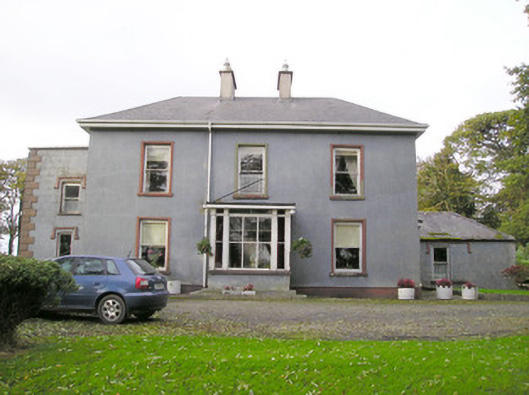 Cloverfield Housecountry house · 1.1 mi
 St. Patrick's WellSpring · 1.3 mi
 Kilteely HillMountain / peak · 1.7 mi
 KnockseefinMountain / peak · 2.3 mi
 Carrickittle RockCastle, unclassified · 2.4 mi
 CastleCastle, unclassified · 2.4 mi
 Flat cemetery in Knockainy WestFlat cemetery · 5.3 mi
 St Patrick's WellSpring · 7.9 mi
 Ballinvreena LoopVisitor information · 11 mi