What is recorded here
Aerial photograph (GB89.AF.11) shows the cropmark of a ring-ditch defined by two concentric fosses; located in close proximity to a curvilinear enclosure (KD014-058----) defined by a fosse. Cropmarks of plough-levelled field boundaries located nearby; chronological relationship uncertain.
Compiled by: Dr. Gillian Barrett
The attached image is copyright and uploaded courtesy of Dr. Gillian Barrett.
Date of upload: 11 March 2013
The monument record does not grant public access. Check the route and ask the landowner before entering private land.
- What survives
- Recorded monument
Places near here
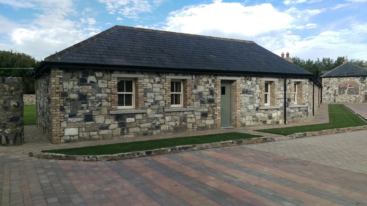 Enclosure in BallyhaysEnclosure · 74 yd
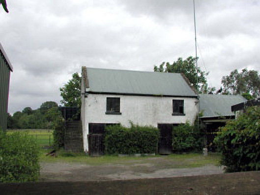 outbuildingoutbuilding · 285 yd
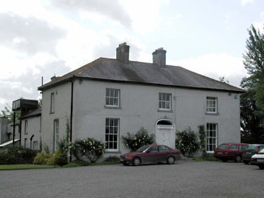 Millbrook Househouse · 407 yd
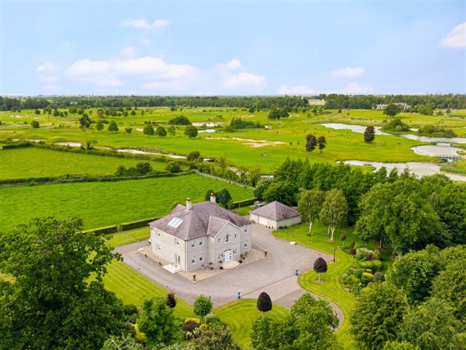 TumulusCastle, motte and bailey · 1043 yd
 Lady WellHoly well · 1585 yd
 The Steam MusemMuseum · 1588 yd
 CastleCastle, unclassified · 1.0 mi
 Battle of GlenmamaMajor battlefield · 1.7 mi
 Oughterard Round TowerHeritage attraction · 2.4 mi
 Arthur Guinness GraveMemorial · 2.4 mi
 Cullen's Hill WoodWood · 2.6 mi
 Icehouse WoodWood · 2.9 mi