What is recorded here
Located on a slight rise in a low-lying landscape. The cropmark of a ring-ditch (diam. c. 15m) is visible within the circular rath (WX047-053001-) on aerial photographs (CUCAP: BDJ 18, BOD 71; MM (42) 24-7). It is not visible at ground level in pasture.
Comiled by: Michael Moore
Date of upload: 21 Octiber, 2013
The monument record does not grant public access. Check the route and ask the landowner before entering private land.
- What survives
- Recorded monument
Places near here
 CastleCastle, tower house · 610 yd
 The Bull RockForest · 750 yd
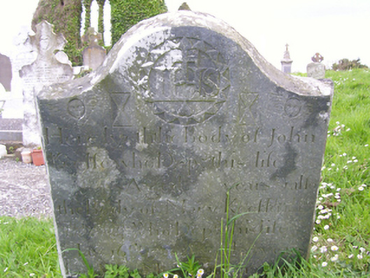 graveyard/cemeterygraveyard/cemetery · 869 yd
 Ecclesiastical enclosure in TomhaggardEcclesiastical enclosure · 876 yd
 Church (in Ruins)Church · 890 yd
 1798 Memorial PlaqueMemorial · 917 yd
 Enclosure in Grange (forth By., Tomhaggard Ed)Enclosure · 927 yd
 The Heron's MeadowForest · 935 yd
 The HamBay · 1.4 mi
 The White Hole BeachBeach / strand · 1.9 mi
 Sigginstown Island (Little)Islet · 2.1 mi
 Sigginstown Island (Great)Island · 2.2 mi