What is recorded here
On flat ground below a ridge, c. 1.8km SW of the confluence of the River Nore and the Kings River and c. 800m E of the village of Stonyford. A barrow (KK027-035----), where the Roman Stonyford burial (KK027-095----) may have found, is located 15m to the W. Another enclosure (KK027-098----) lies c. 210m to the E and a barrow (KK027-036----) c. 320m to the SE.
A circular enclosure/ring-ditch (diam. 7m), the fosse of which was identified within a D-shaped enclosure (KK027-096----) as a result of a geophysical survey carried out in 2014 (Rassmann et al. 2019, 353-4; 358-60). The ring-ditch is slightly offset within the centre of the D-shaped enclosure. It has been interpreted as a possible round house (ibid. 354).
The summary of the geophysical report discusses the links between this D-shaped enclosure and similarly shaped ‘banjo’ enclosures, with elaborate entrances, identified through archaeological excavation in southern England and west Wales (ibid. 358). These have produced evidence of occupation, often in the form of internal round houses and storage pits, and have been dated to the Middle and Late Iron Age, c. 400 B.C. to A.D. 43 (ibid.). It was also noted that in Britain banjo enclosures are sometimes found in association with Iron Age barrow cemeteries (ibid.).
Compiled by: Jean Farrelly
The monument record does not grant public access. Check the route and ask the landowner before entering private land.
- What survives
- Recorded monument
Places near here
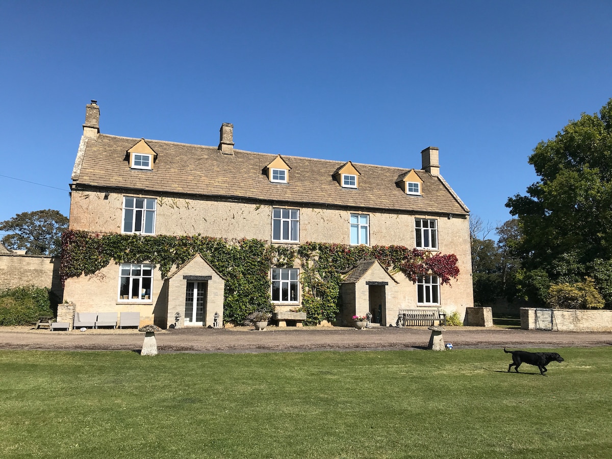
 Enclosure in BallycoamEnclosure · 2 yd
 Enclosure in CotterellsboolyEnclosure · 238 yd
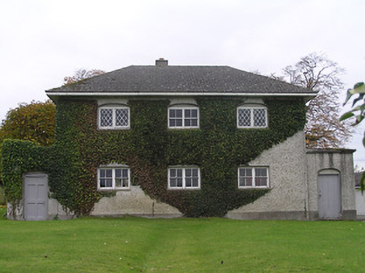 Stonyford Schoolbank/financial institution · 788 yd
 Site of Village Well 1810-1950Memorial · 903 yd
 Site of Lee's ForgeMemorial · 937 yd
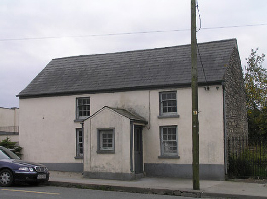 unknownunknown · 961 yd
 CastleCastle, unclassified · 1.1 mi
 Mount Juliet HouseCastle · 1.1 mi
 Pedunculate OakPedunculate Oak · 1.3 mi
 Turkey OakTurkey Oak · 1.9 mi
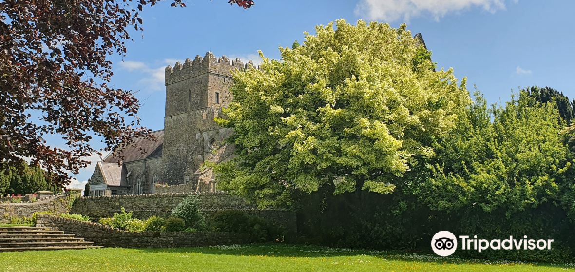
 Kells Augustinian PrioryHeritage attraction · 2.3 mi
 Kells Loop WalkWalking route · 2.4 mi