What is recorded here
The official Northern Ireland record identifies this as RING BARROW. Recorded period: PREHISTORIC; BRONZE AGE. Recorded protection: Scheduled. The official map point was placed at the centre of the recorded archaeological site from the source map reference.
Ring barrow, Bronze Age. A common funerary monument type in prehistoric Britain and Ireland, ring barrows typically consist of a circular or oval mound surrounding a central burial, reflecting early ceremonial and burial practices.
The monument record does not grant public access. Check the route and ask the landowner before entering private land.
- What survives
- Recorded monument
Places near here
 Ring BarrowArchaeological place · 4 yd
 ENCLOSURE in BallykeelENCLOSURE · 1003 yd
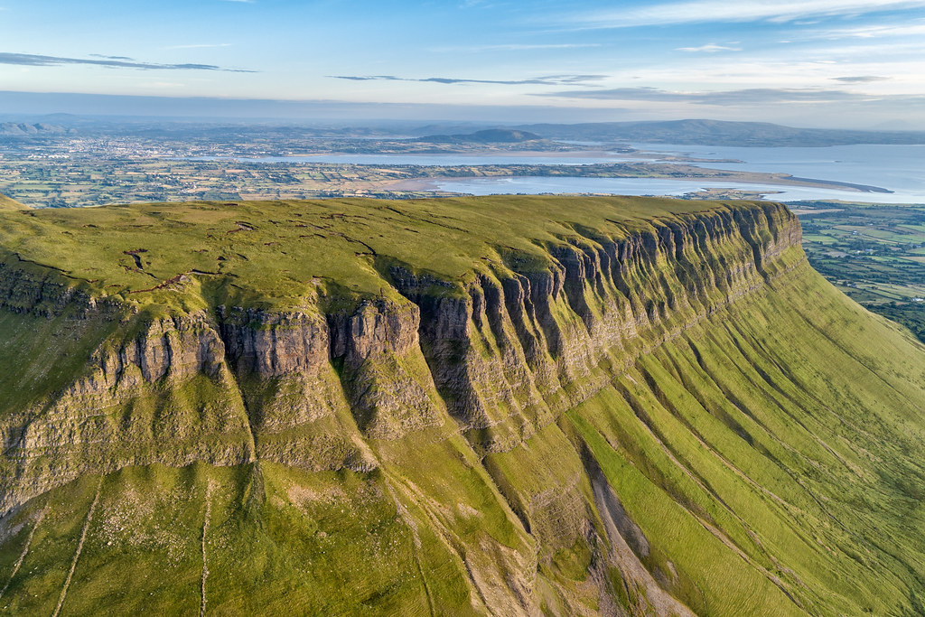 Ballynatubbnit MountainMountain / peak · 1718 yd
 Mary GrayMountain / peak · 1.6 mi
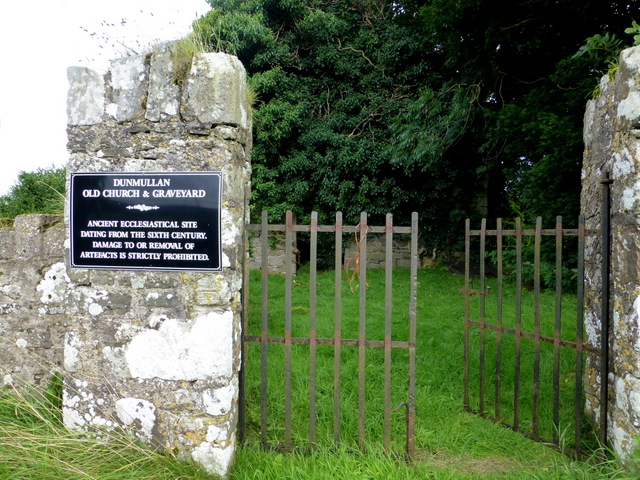 CHURCH & GRAVEYARD: CAPPAGH CHURCH or OLD CHURCH in DunmullanCHURCH & GRAVEYARD: CAPPAGH CHURCH or OLD CHURCH · 1.9 mi
 Grange WoodWood · 2.3 mi
 Moyle IslandIsland · 2.3 mi
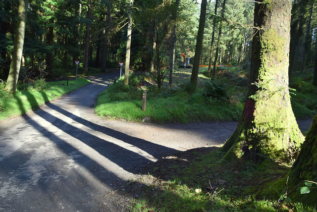 Gortin Glen Forest ParkHeritage attraction · 2.5 mi
 History of Gortin Glen ForestVisitor information · 2.6 mi
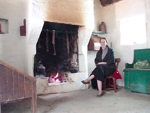 Ulster American Folk ParkMuseum · 2.6 mi
 Newtownstewart Presbyterian ChurchChurch · 3.0 mi
 FRANCISCAN FRIARY & GRAVEYARD: CORICK ABBEY in CorickmoreFRANCISCAN FRIARY & GRAVEYARD: CORICK ABBEY · 3.0 mi