
What is recorded here
Places near here
Photo credits
- Maker not stated on source page, en.wikipedia.org
- Maker not stated on source page, www.pinterest.com
- Rossographer, Geograph · CC BY-SA 2.0
- Ross, Wikimedia Commons · CC BY-SA 2.0
- Paul Carroll / The Irish Times, www.irishtimes.com
- Eric Jones, commons.wikimedia.org
- Government of the United Kingdom, Wikimedia Commons · Public domain
- Maker not stated on source page, commons.wikimedia.org
- Eric Jones, Wikimedia Commons · CC BY-SA 2.0
- Maker not stated on source page, belfastmedia.com
 Two Glacial Erratics & Findspot of Flint Arrowhead: Baby Stone, Bobby Stone in DivisTwo Glacial Erratics & Findspot of Flint Arrowhead: Baby Stone, Bobby Stone · 1073 yd
Explorer Tom Baby Stone and Bobby Stone in Divis are just big rocks that got named by people with no imagination. A flint arrowhead…
 Circular Stone Complex (possible Roundhouse) in DivisCircular Stone Complex (possible Roundhouse) · 1117 yd
Explorer Tom Circular Stone Complex in Divis is possibly a roundhouse, which is very vague for a building. It would teach history by…
 Black HillMountain / peak · 1310 yd
Explorer Tom Black Hill in County Antrim is secretly proud of one specific potato that grew on its slope three hundred years ago.…
 Black MountainMountain / peak · 1343 yd
Explorer Tom Black Mountain looks down on Belfast from about 389 metres, which is high enough for me to pretend I know every street…
 Páirc Mhic Ionnrachtaigh, Gort na MónaGAA ground · 1.0 mi
 Battle at SpringmartinBattle · 1.2 mi
Explorer Tom Battle at Springmartin is where an over-enthusiastic matchmaker once tried to pair off two rival armies with a shared…
 Páirc na Láimhe Deirge, Lámh Dhearg GAA, HannahstownGAA ground · 1.2 mi
 Springhill MassacreMass shooting · 1.4 mi
Explorer Tom Springhill Massacre in County Antrim is the shortcut that definitely isn't a shortcut. The Parachute Regiment logo is…
 Belfast City CemeteryCemetery · 1.6 mi
Explorer Tom Belfast City Cemetery has been hiding a massive scandal involving a missing bag of chips for centuries, and everyone…
 Milltown CemeteryGraveyard · 1.8 mi
Explorer Tom Milltown Cemetery in Ballymurphy, County Antrim, has a wicked curse that only affects people who don’t wave hello to…
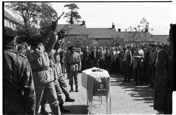 Keiran Doherty td MemorialMemorial · 2.0 mi
Explorer Tom Keiran Doherty TD Memorial would handle a reality show by just standing still and letting everyone else cause all the…
 Cross of SacrificeMemorial · 2.0 mi
Explorer Tom Cross of Sacrifice in Ballymurphy is remembering everyone who left and didn’t come back home. A quiet memorial with a…
More walking routes in County Antrim · All of County Antrim

What do you know about this place?Tap to add a comment or ask a question