
What is recorded here
Ric barracks in Teernakill North has lost the police badge from its porch but kept its cells and enclosed yard. That's a very thorough retirement: no name on the door, but still somewhere to put a caller who won't take the hint.
Freestanding five-bay two-storey L-plan former constabulary barracks, built c.1880, with projecting porch to front, north, elevation, double-pile single-storey cell block to rear elevation, lean-to addition to west elevation, attached walled courtyard having outbuildings to south, now derelict. Converted to Garda station 1925. Hipped slate roof to main building, pitched slate roofs to porch, cell block, slate lean-to roof addition to west elevation, rendered chimneystacks, cast-iron and replacement uPVC rainwater goods. Painted rendered walls with rendered plinth to west elevation and painted plinth to front and east elevations. Wooden plaque which once held Garda insignia located on north elevation of porch. Camber-headed window openings having tooled limestone sills to original building, concrete sills to second addition to rear, six-over-six pane timber sliding sash windows to first floor, boarded up windows to ground floor. Tooled limestone lintel, surround and sill to cell windows, with iron bars and iron-framed lattice window to south elevation of cell block, six-over-one pane timber sliding sash window and one-over-one pane timber sliding sash window to south elevations. Square-headed entrances having raised rendered reveals and timber battened door to east elevation of porch and boarded up entrance to west elevation. Concrete slab paved courtyard to south with lean-to outbuildings to west and south elevations. Rendered and exposed rubble stone walls forming courtyard with rendered gate piers to west elevation. Rubble stone boundary walls with concrete block gate piers having replacement galvanised iron gate.
Although derelict, this building is relatively intact and retains its original form and materials such as timber sliding sash windows and slate roofs. The survival of its cells and enclosed courtyard add to the architectural and historical value of the site and its prominent siting makes it a landmark in the landscape. Following the departure of the RIC, the barracks was soon reused as a Garda Station and had continued to fulfil a law enforcement role in the area.
From the Buildings of Ireland (National Inventory of Architectural Heritage) record 30403801
This does not grant access. Most recorded buildings are privately owned; view them only from public ground unless the owner allows entry.
Places near here
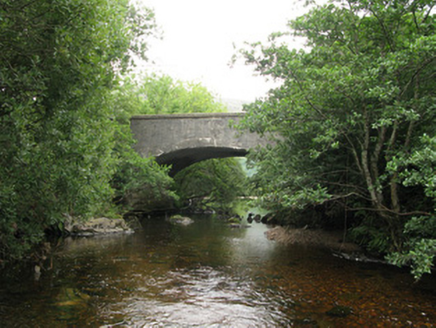 Teernakill BridgeBridge · 276 yd
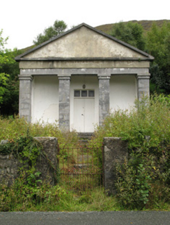 Maum CourthouseCourt house · 817 yd
 CorcogemoreMountain / peak · 2.0 mi
 LackavreaMountain / peak · 2.2 mi
 CastlekirkCastle · 2.5 mi
 Earls IslandIslet · 4.2 mi
 IslandmoreIslet · 4.8 mi
 Screebe WaterfallWaterfall · 6.4 mi
 Aasleagh WaterfallWaterfall · 8.6 mi
 Teach an PhiarsaighHeritage attraction · 8.9 mi
 Hawthorn10 mi
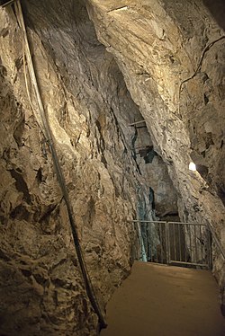 Glengowla MinesHeritage attraction · 10 mi
Pictures: National Inventory of Architectural Heritage; Dr Wotsit, Wikimedia Commons · CC BY-SA 3.0; Nmwood189, Wikimedia Commons · CC BY-SA 4.0; Oliver Dixon, Geograph · CC BY-SA 2.0; Marathon, Geograph · CC BY-SA 2.0; Steve Edge, Wikimedia Commons · CC BY-SA 2.0; Digital Eye, Wikimedia Commons · CC BY-SA 4.0; Didier Descouens, Wikimedia Commons · CC BY-SA 4.0; andrew mcmillan, Wikimedia Commons · CC BY 3.0
More historic places in County Galway · All of County Galway
What do you know about this place?