What is recorded here
Rhea's Plantation is shown as a forest on the public map of North Yorkshire. The saved point is the map point or the centre of its mapped shape.
This does not grant access. Check current paths, opening conditions and ownership before entering.
Places near here
 Nelly Ayre FossWaterfall · 407 yd
 Goathland, standing stoneAncient stone or rock art · 842 yd
 Farmbuilding approximately five metres west of Hunt House FarmhouseListed building · 1406 yd
 Standing StoneAncient stone or rock art · 1477 yd
 River Esk near Mallyan Spout Waterfall, Goathland, YorkshireWaterfall · 1574 yd
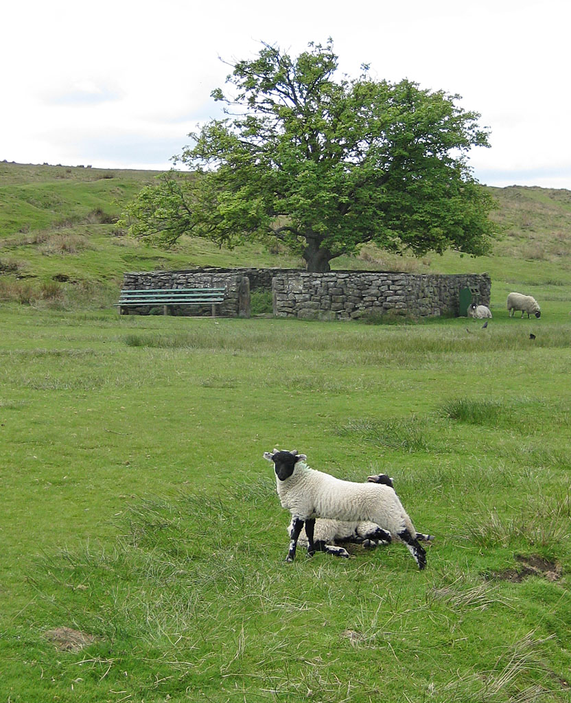 Jubilee TreeBroadleaf Tree · 1633 yd
 Mallyan Spout HotelListed building · 1.0 mi
 Ironworks sculpturePublic sculpture · 1.4 mi
 Simon's HoweMountain / peak · 1.6 mi
 Twin Arch BridgeVisitor information · 1.7 mi
 Mill ScarWood · 1.8 mi
 North BridgeVisitor information · 1.8 mi