
What is recorded here
Map note: There is a map point for Reres Hill, a mountain or peak near Monifieth, Dundee City, Scotland. That sounds like a place for a big view, though the map makes no promises.
From OpenStreetMap (© OpenStreetMap contributors) n233156447
Places near here
Photo credits
- Jim Smillie, Wikimedia Commons · CC BY-SA 2.0
- Douglas Nelson, Wikimedia Commons · CC BY-SA 2.0
- Maker not stated on source page, www.pinterest.com
- Maker not stated on source page, ru.pinterest.com
- Maker not stated on source page, en.wikipedia.org
- Maker not stated on source page, pastvu.com
- Stanley Howe, Wikimedia Commons · CC BY-SA 2.0
- Richard Webb, Wikimedia Commons · CC BY-SA 2.0
- Mike Pennington, Wikimedia Commons · CC BY-SA 2.0
 Dundee, Broughty Ferry, Hermitage Road, GeneralGeneral View · 991 yd
 Dundee, Broughty Ferry, Queen Street, East United Free Church and War MemorialChurch (19th Century) (1865), War Memorial (20th Century) · 1009 yd
 Dundee, Broughty Ferry, 408 Brook Street, St Aidan's ChurchChurch (19th Century) (1826) · 1031 yd
 Broughty Ferry War MemorialHeritage place · 1034 yd
 Mapped graveyardGraveyard · 1035 yd
 Dundee, Broughty Ferry, Queen Street, East United Free Church HallHall · 1046 yd
 Broughty Ferry, Brook Street, St Aidan's Church HallSchool (19th Century) (1874) · 1053 yd
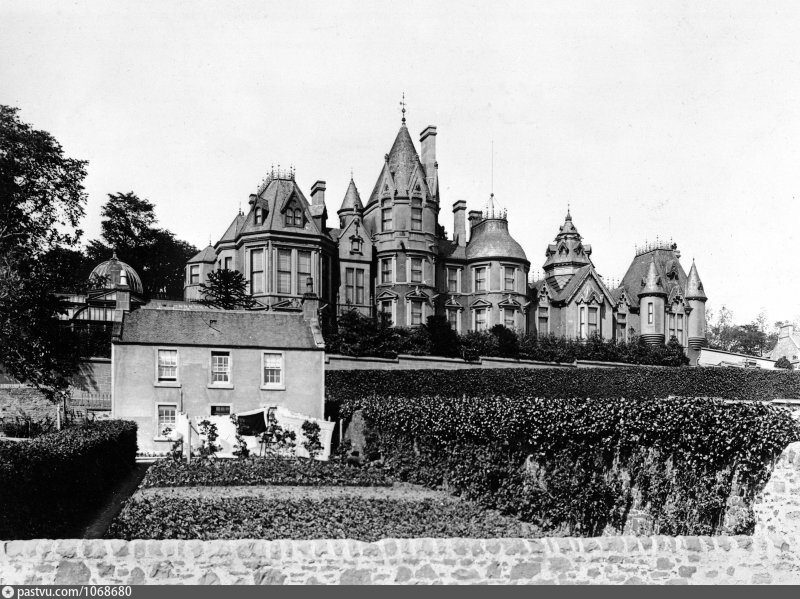 Dundee, Broughty Ferry, 7 Camphill Road, Carbet Castle LodgeLodge · 1106 ydDundee, Broughty Ferry, Camphill Road, Carbet CastleCastle (medieval) · 1182 yd
 Adventure playground on Castle GreenCastle, fort or tower · 1237 yd
 Beach Crescent, Broughty FerryBeach · 1363 yd
 Mute Swans on Broughty Ferry beachBeach · 1602 yd
More mountains and hills in Dundee City · All of Dundee City

What do you know about this place?Tap to add a comment or ask a question