What is recorded here
The first chamber was never a temple, though men still call it one. It is a living room under the sea, with a door of green fire and a kitchen where rain cooks bread. The woman in the red coat is not a ghost. She is the housekeeper, waiting for someone old enough to stop fearing the dark and learn what the room remembers.
Getty (1853) noted some 'very large stones, like the remains of a cromleac' on high ground behind (i.e. to the N of) West Town on Tory Island. T.H. Mason (1936) claimed that a 'dolmen' on the island was marked on a map in his possession. However, he failed to find the monument and was informed locally that it had been broken up by a contractor employed to build a wall at the lighthouse, which is at the NW extremity of the island. According to Hunter (1972), a megalithic tomb was shown on the 1910 edition of the OS 6-inch map. This is not so, as no feature there bears any of the names usually assigned to such monuments on OS 6-inch maps. He may have had in mind one of a number of sites on the map named 'Carn' or 'Grave(s)'. There is no trace of a megalithic tomb at any of these sites. More convincing evidence would be required to establish that there was a megalithic tomb on the island.
It may be noted that the name 'Leaba Dhiarmada agus Ghráinne' or a version of it has been applied by islanders to what are apparently natural features at the E end of the island (OS Letters, 1835; Doherty 1891; Ó Colm 1971).
OS Letters (1835), 89; Getty 1853, 114; Doherty 1891, 187; T.H. Mason 1936, 18; Ó Colm 1971, 49; Hunter 1972, 160; Crumlish 1993, 22.
The above description was published in the 'Survey of the Megalithic Tombs of Ireland. Volume VI, County Donegal.' Compiled by: Eamon Cody (Dublin: Stationery Office, 2002).
Date of upload: 22 September 2008
Portal dolmen; likely dates to the Neolithic or early Bronze Age. Its significance lies in contributing to the understanding of megalithic traditions in the western Irish seaboard.
This remains an important historical record, but the official description says the monument is no longer visible or has been destroyed. The monument record does not grant public access. Check the route and ask the landowner before entering private land.
- What survives
- No visible remains or recorded as destroyed
Places near here
 An Chros TauCross, Tau cross · 181 yd
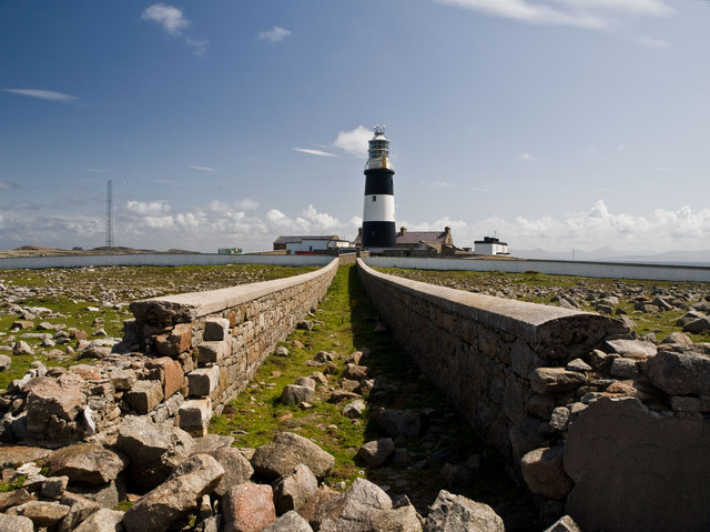 Tory Island / ToraighIsland · 202 yd
 Tory Island Early Church GraveyardGraveyard · 209 yd
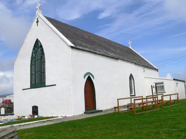 Teach Pobail Cholmcille Naofa [Saint Columbkille's Catholic Church]church/chapel · 216 yd
 CrossCross, High cross · 263 yd
 An TorpedoHeritage attraction · 615 yd
 Derek Hill's HutHeritage attraction · 1456 yd
 Lloyds Signal StationRuins · 1538 yd
 Siege of Tory Islandsiege · 1.0 mi
 Cliffs of ToraigPublicly named cliff or headland · 1.2 mi
 Tory Island WayVisitor information · 1.2 mi
 CastleCastle, unclassified · 1.3 mi