
What is recorded here
At about the mid point on the S side of Tory Island is a settlement called West Town clustered around a small bay. This settlement includes within it and close to it the remains of the early ecclesiastical complex on the island (National Monument number 24). The available literature seems to refer to several structures and monuments no longer visible. In particular the Civil Survey of 1654-56 (Simington 1937, 114) refers to 'five churches almost ruined' only one of which seems to survive. Literary references to Tory appear to begin in the 7th century and continue throughout the early and later medieval period indicating its ecclesiastical nature (Gwynn and Hadcock 1970, 46).
On the platform-like structure named 'Altar' on the 3rd ed. OS 6-inch map (DG006-002005-). This contains a collection of stone fragments and stray pieces gathered together. Harbison (1992, i, 173-4) describes the relevant stones forming this cross as follows: ‘Among the stone fragments close to the Round Tower at the western end of West Town, there are two which probably belonged together. One of these is 65cm high, 34cm wide and 11cm thick, and is placed in a cylindrical base which did not necessarily belong to the cross originally. But, alas, it has almost certainly been placed upside down. All that can be made out is the body of a figure in light relief. The figure is dressed in a long robe (with a groove suggesting a belt?) from which-at the present top-two feet seem to emerge. Because what should be at the top of the fragment, were it the right way up, is now embedded in the cylindrical base, it is impossible to check if it fits the other fragment which lies beside it, though it is likely that the two fit together. This second fragment bears the upper part of a figure-presumably Christ-standing out in high relief. He stretches his forearms out at right angles to his body, and hais hair falls down on either side of his face. On arm of the cross survives, showing the rounded form of the armpits. The back of both fragments would appear to be undecorated.' (Lacy et al. 1983, 296, no. 1620).
Revised by: Paul Walsh
Date of upload: 13 March 2013
A local church or high cross; wider significance not recorded.
The monument record does not grant public access. Check the route and ask the landowner before entering private land.
- What survives
- Recorded monument
Places near here
 Tory Island Round TowerRound tower · 16 yd
 Tory Island Early Church GraveyardGraveyard · 75 yd
 An Chros TauCross, Tau cross · 121 yd
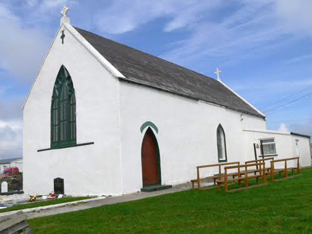 Teach Pobail Cholmcille Naofa [Saint Columbkille's Catholic Church]church/chapel · 248 yd
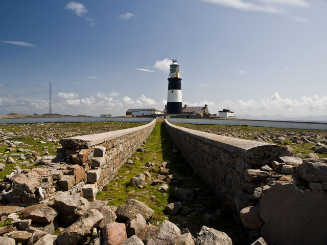 Tory Island / ToraighIsland · 449 yd
 An TorpedoHeritage attraction · 877 yd
 Derek Hill's HutHeritage attraction · 1271 yd
 Lloyds Signal StationRuins · 1316 yd
 Siege of Tory Islandsiege · 1.1 mi
 Cliffs of ToraigPublicly named cliff or headland · 1.3 mi
 Tory Island WayVisitor information · 1.3 mi
 CastleCastle, unclassified · 1.4 mi
Other information
Photo: Credit not shown in the picture search · Rights wording not checked; contact us if this picture should be removed