What is recorded here
Gwynn and Hadcock regard as doubtful the possible establishment of a Cistercian foundation at ‘Ballinley or Ballinig’ which had been suggested, was occupied before they community settled at Boyle, Co. Roscommon (1970, 363). The site is known locally as the 'Abbey Field' and a stoup (SL019-043002-) is incorporated into a field wall to the SE. In addition, there is a possible font or benniter (SL019-193----) used as a garden ornament at Ballinlig House, c. 200m to the NW. Given the local placename tradition coupled with the presence of the stoup and possible benniter it is possible that this reflects some element of a religious presence. The possibility that this may be site of a grange belonging to Boyle abbey cannot be ruled out.
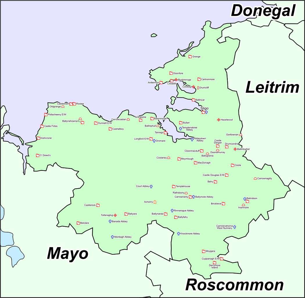
The remains are indicated as field boundaries on the OS 6-inch maps though the site is not named. It is situated on a natural ridge projection and the SW of the site utilises the precipitous slope of the ridge. It consists of a raised rectangular area (82m NW-SE; 62.5m NE-SW) defined by a scarp (H 1.6-2.3m). At the NE side and at the NE end of the NW side are traces of a possible levelled bank at the upper edge of the scarp. At the SE side the perimeter has either been destroyed or incorporated into modern field boundary walls. At the ENE angle an irregularly-shaped piles of loose stone may mark the site of a tower or other building. At the foot of the scarp at the NE and NW sides is a wide, deep fosse (Wth 7.7m; D 1.6m). At the NW end of the SW side this is disturbed by a modern drain. At the NW end of the SW side the fosse is absent and there is a terrace from which the ground drops steeply for several metres. At the outer lip of the fosse at the NE end of the SE side is a low outer bank (Wth 6m; H 0.45m). The outline of this bank may also be traced at the NW side where it has been incorporated into a modern wall. A depression (Wth c. 15m) in the scarp close to centre of NW side, with accompanying causeway and blocked up break in outer bank, marks the original entrance. Outside of this a relatively steep slope falls to the estuary of the River Finn a short distance below. Immediately SE of centre in the interior, are the remains of a rectangular building (17.2m WNW-ESE; 7.5m NNE-SSW) defined by a low, grass-covered bank (Wth c. 1.6m; H 0.35m) of earth and stone. The function of this structure is unknown but it may be the remains of a barn or granary.
Compiled by: Patrick F. O'Donovan, Paul Walsh
Date of upload: 9 April 2014
A Cistercian monastic site, likely 12th- to 13th-century, associated with early monastic movements in Ireland; its significance lies in understanding the pre-Boyle settlement patterns of Cistercian monks in the region.
The monument record does not grant public access. Check the route and ask the landowner before entering private land.
- What survives
- Recorded monument
Places near here
 Font in Ballinlig (tireragh By.)Font · 230 yd
 Enclosure in Ballinlig (tireragh By.)Enclosure · 566 yd
 Lahanacappul IslandIslet · 694 yd
 CastleCastle, ringwork · 954 yd
 Ballinlig PointHeadland · 1094 yd
 Giant's GraveArchaeological place · 1267 yd
 Portavaud PointHeadland · 1343 yd
 Carrowgarry Househouse · 1726 yd
 Bawn in Tanrego WestBawn · 1.1 mi
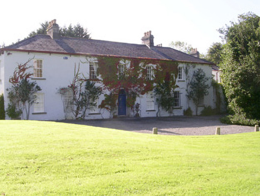 Tanrego Househouse · 1.1 mi
 CulleenamoreBeach / strand · 1.8 mi
 European ashEuropean ash · 2.1 mi