
What is recorded here
Situated on a low rise on a penninsula jutting into the W side of Ballisodare Bay. Not marked on any edition of the OS 6-inch map. Identified from aerial photography Slightly raised oval area (dims. c.33m NW-SE; c.25m NE-SW) defined from WSW-N-NNE by a curving field boundary which is probably an adaptation of the pre-existing bank of a rath or other enclosure. No fosse. Original entrance not recognisable.
Compiled by: Patrick F. O'Donovan
Date of upload: 19 January 2011
The monument record does not grant public access. Check the route and ask the landowner before entering private land.
- What survives
- Recorded monument
Places near here
 Lahanacappul IslandIslet · 373 yd
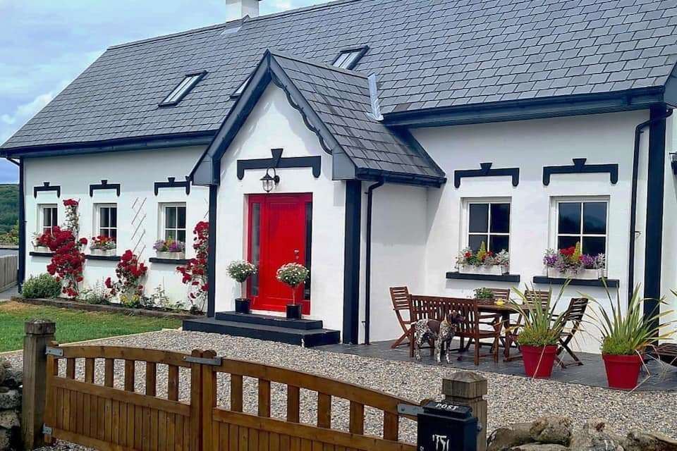 Hut site in Ballinlig (tireragh By.)Hut site · 640 yd
 Ballinlig PointHeadland · 650 yd
 Font in Ballinlig (tireragh By.)Font · 656 yd
 Portavaud PointHeadland · 955 yd
 CastleCastle, ringwork · 1149 yd
 Bawn in Tanrego WestBawn · 1669 yd
 Carrowgarry Househouse · 1.0 mi
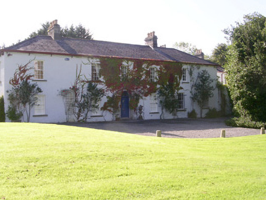 Tanrego Househouse · 1.0 mi
 Giant's GraveArchaeological place · 1.0 mi
 CulleenamoreBeach / strand · 1.5 mi
 Strandhill BeachBeach / strand · 2.2 mi
Other information
Photo: Credit not shown in the picture search · Rights wording not checked; contact us if this picture should be removed