What is recorded here
According to Bradley et al. (1986 vol. 3, 251-53), the pre-Norman monastery of Kildare was primarily a community of nuns which survived until the Dissolution of the monasteries when an extent noted that the precincts contained a small castle or fortilage with a chapel, and that it was farmed by Francis Cosby and Raymond Oge (FitzGerald). The community was associated with a perpetual fire, first described by Giraldus Cambrensis in the late-12th century. In 1395, the community was addressed as the ‘prioress and convent of St Brigid de Fyrehouse of Kildare’ (Tresham 1828, 154 no. 47), and a ‘Firehouse’ (KD022-029) is named on the current OS 6-inch map just N of the Cathedral (KD022-029005-). Rocque’s 1757 map of Kildare town shows a ‘Fire Castle’, which is no longer extant, to the W of the Cathedral graveyard (KD022-029003-), and the nunnery may have been located in its vicinity. (Gwynn and Hadcock 1970, 320)
Compiled by: Gearóid Conroy
Date of upload: 9 February 2012
The monument record does not grant public access. Check the route and ask the landowner before entering private land.
- What survives
- Recorded monument
Places near here
 Kilmorehouse · 217 yd
 Saint Conleth'shouse · 225 yd
 Fire house (Site of)Building · 415 yd
 Ecclesiastical enclosure in KildareEcclesiastical enclosure · 434 yd
 Castle in ruinsCastle, Anglo-Norman masonry castle · 434 yd
 CastleCastle, motte · 500 yd
 Saint Fiachra's GardenHeritage attraction · 1751 yd
 Bee-bee treeBee-bee tree · 1.1 mi
 Horse MuseumMuseum · 1.1 mi
 Dawn RedwoodDawn Redwood · 1.2 mi
 Bithia Mary CrokerMemorial · 5.6 mi
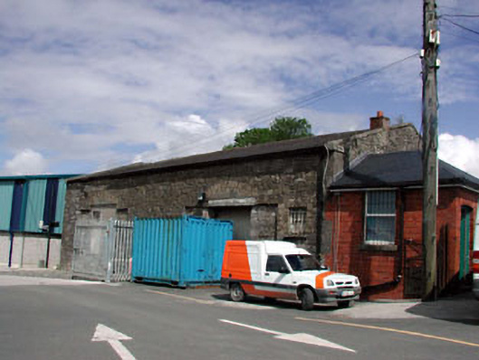 Kildare Railway Stationstore/warehouse · 233 yd