
What is recorded here
Map note: Near Gargunnock, Stirling, Scotland, the map records Redhall Burn Waterfall as a waterfall. See the mapped point and what else lies nearby.
From OpenStreetMap (© OpenStreetMap contributors) n7746213285
Places near here
Photo credits
- Euan Nelson, Wikimedia Commons · CC BY-SA 2.0
- Richard Webb, Wikimedia Commons · CC BY-SA 2.0
- Alan O'Dowd, Wikimedia Commons · CC BY-SA 2.0
- Maker not stated on source page, ca.pinterest.com
- Alpin Stewart, Wikimedia Commons · CC BY-SA 2.0
- Maker not stated on source page, www.dreamstime.com
- Maker not stated on source page, www.tripadvisor.ie
- Andrew Smith, Wikimedia Commons · CC BY-SA 2.0
 Mains of GargunnockFarmstead · 1292 yd
 Gargunnock HouseCountry House (16th Century) · 1559 yd
 Gargunnock House, StablesStable(s) · 1615 yd
 Downie's LoupWaterfall · 1750 yd
 Garden WoodWood · 1.0 mi
 Walled GardenGarden · 1.0 miGargunnock House, Walled GardenWalled Garden · 1.0 mi
 Gargunnock, Parish Church and Burial-groundBurial Ground (18th Century), Church (18th Century), War Memorial(s) (20th Century) · 1.2 mi
 Mapped graveyardGraveyard · 1.2 mi
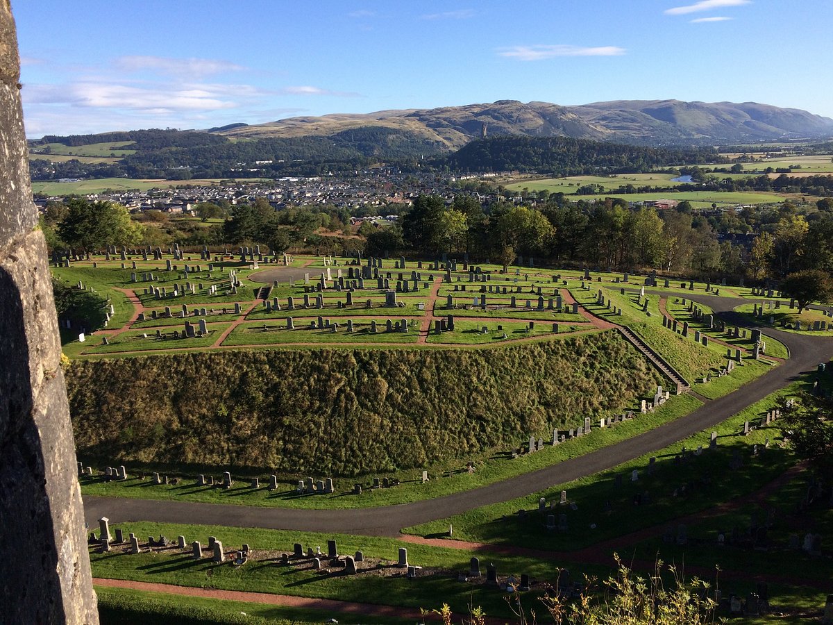 Cemetery Rest GardenGarden · 1.2 mi
 Gargunnock BridgePitcher(s) · 1.3 mi
 Mapped cemeteryCemetery · 1.7 mi
More waterfalls, wells and springs in Stirling · All of Stirling

What do you know about this place?Tap to add a comment or ask a question