What is recorded here
Worm Ditch cuts two kilometres through scrub and coniferous forest in County Leitrim, marking a boundary or barrier long before roads or men. Its flat-bottomed trench still holds the shape of human hands, even though pigs and rain have softened the edges. The name suggests something fierce and local, perhaps a warning about darkness moving through low ground at night.
Located in an undulating but low-lying landscape c. 600-800m W of the County River and the boundary with Co. Fermanagh. This section (L c. 2km) of the Worm Ditch or the Black Pigs Dyke is oriented N-S. It is generally overgrown with scrub but is sometimes grass-covered and in places runs through coniferous forest, where it remains unplanted but overgrown. It consists of a flat-bottomed fosse (Wth 3m; D 0.6m), while at some points it has naturally lower ground to the E (Wth of top 6.5m; Wth of base 1.5m; D 1-1.6m), sometimes with a field bank on the outer (E) edge of the fosse. The N end terminates in a flat-bottomed valley and the S bank of a W-E section of the Lattone stream, but it is continued c. 300m to the N by a short section (LE005-009-), while the S end is c. 300m NW of Lough Tiernan, a small oval lake (max. dims c. 350m N-S; c. 140m E-W). The earthwork commences again (LE008-009---) c. 150m SW of the lough and c. 400m SSE of the S end of this section.
This section is a National Monument in state ownership: No. 653
See the attached view looking N _1
The above description is derived from 'The Archaeological Inventory of County Leitrim' compiled by Michael J. Moore (Dublin: Stationery Office, 2003). In certain instances the entries have been revised and updated in the light of recent research.
Date of upload: 23 September 2008
The monument record does not grant public access. Check the route and ask the landowner before entering private land.
- What survives
- Recorded monument
Places near here
 RaheelinFairy fort / ringfort · 1328 yd
 MONASTIC SITE WITH CROSS-SHAFT & BASE: KILCOO in FrevaghMONASTIC SITE WITH CROSS-SHAFT & BASE: KILCOO · 1.0 mi
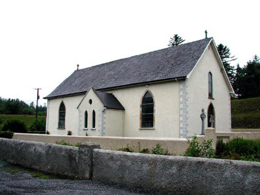 Saint Aidan's Catholic Churchchurch/chapel · 1.6 mi
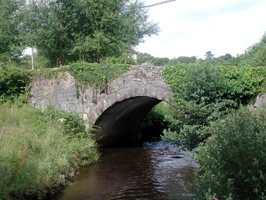 bridgebridge · 1.6 mi
 Fowley's FallsPicnic place · 2.6 mi
 Saddle HillMountain / peak · 2.6 mi
 Ross PointHeadland · 2.7 mi
 Dough MountainMountain / peak · 2.9 mi
 Giant's GraveArchaeological place · 3.1 mi
 Sally IslandIslet · 4.0 mi
 GorminishIslet · 4.4 mi
 Kilroosk RockNamed rock · 4.7 mi