What is recorded here
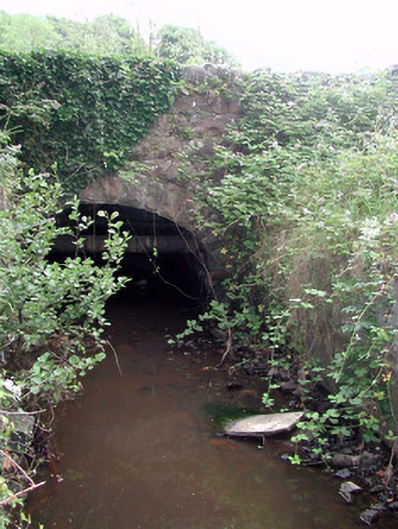
Crossing the River Shannon between county Leitrim and Roscommon. It is described as 'Wooden Bridge' on the 1835 edition of the OS 6-inch map. This was a primitive bridge constructed of oak beams overlain with wicker and gravel spanning ten simple, pyramidal stone piers, which survived into the late 19th century. It was replaced by a stone bridge of five arches in 1896, which is still called 'Wooden Bridge', c. 150m downstream from the original bridge, of which nothing remains (O'Keeffe and Simington 1991, 107-109). Marked as a wooden bridge standing beside a weir (RO004-041002-) on a Longfield map of the 18th century (NLI MS. 21. F. 43 (35)). Cross-reference ith RO004-041001-.
The above description is derived from 'The Archaeological Inventory of County Leitrim' compiled by Michael J. Moore (Dublin: Stationery Office, 2003). In certain instances the entries have been revised and updated in the light of recent research.
Date of upload: 23 September 2008
The monument record does not grant public access. Check the route and ask the landowner before entering private land.
- What survives
- Recorded monument
Places near here
 Derreenargan WoodWood · 1465 yd
 InishnagonIsland · 1.2 mi
 Quarry in BallyformoyleQuarry · 1.9 mi
 Enclosure in DrumgeaglomEnclosure · 1.9 mi
 Megalithic structure in BallyformoyleMegalithic structure · 2.2 mi
 Battle of Áth an Chipbattle · 2.3 mi
 bridgebridge · 2.3 mi
 Turlough O'CarolanMemorial · 2.5 mi
 Shannon-Erne WaterwayVisitor information · 2.8 mi
 Sit of Breifny CastleCastle, tower house · 2.8 mi
 Spiranthes IslandsIslet · 2.9 mi
 PortCastle, unclassified · 3.4 mi