What is recorded here
No visible boundary remains on the gently undulating grassland, only faint collapsed stone walls scattered across roughly 170 by 150 metres. Several small rectangular enclosures still show through the turf, but most of the walls refuse to form an obvious pattern. The lost handlers, cattle, tenants or owners have left no name behind, and even the dead were later brought into that same unnamed landscape.
In gently undulating grassland. A series of grassed-over collapsed stone walls cover an area c. 170m NE-SW by c. 150m E-W. Several small rectangular enclosures are visible, although most of the walls form no obvious pattern. A private burial plot and a CBG (GA059-066001-) lie within the system. (Claffey 1983, 164)
The above description is derived from the published 'Archaeological Inventory of County Galway Vol. II - North Galway'. Compiled by Olive Alcock, Kathy de hÓra and Paul Gosling (Dublin: Stationery Office, 1999).
Date of upload: 05 August 2010
The monument record does not grant public access. Check the route and ask the landowner before entering private land.
- What survives
- Recorded monument
Places near here
 IndicatedEnclosure · 158 yd
 Enclosure in Mullaghmore SouthEnclosure · 1.5 mi
 CastleCastle, unclassified · 1.5 mi
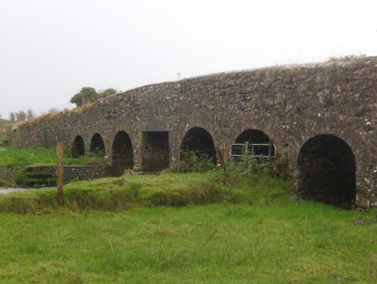 Abbert Bridgebridge · 1.7 mi
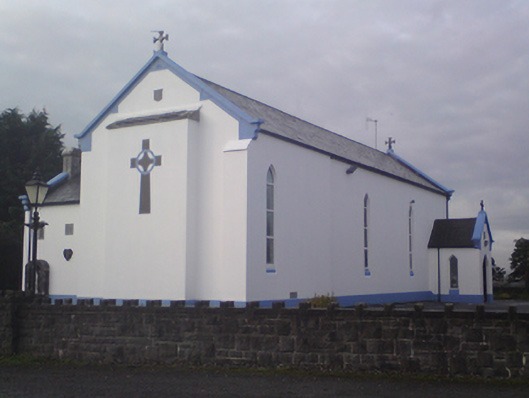 Saint Mary's Catholic Churchchurch/chapel · 1.7 mi
 Garbally Castle (in ruins)Castle, tower house · 2.3 mi
 Menlough IRAMemorial · 2.7 mi
 HawthornHawthorn · 3.0 mi
 SycamoreSycamore · 3.2 mi
 Knockmoy AbbeyHeritage attraction · 4.7 mi
 Kilconnell AbbeyHeritage attraction · 12 mi
 CarrownacreggCountry house · 1.7 mi