What is recorded here
On a slightly raised platform in generally low-lying terrain, N of flat bog. A circular area (diam. c. 47m) created by scarping around top of a natural dome-shaped hillock. Indicated as an enclosure on the first (1839) ed. OS 6-inch map.
Compiled by: Jean Farrelly
Date of upload: 9 September 2015
The monument record does not grant public access. Check the route and ask the landowner before entering private land.
- What survives
- Recorded monument
Places near here
 RathbaneConcentric enclosure · 871 yd
 Church in Kyle (clandonagh By., Kyle South Ed)Church · 1169 yd
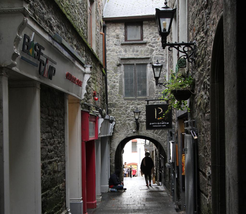 Bawn in WhiteswallBawn · 1183 yd
 IndicatedEnclosure · 1253 yd
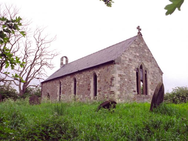 Church in WhiteswallChurch · 1.1 mi
 Cnoc SeanrathaMemorial · 1.2 mi
 Cody's CastleCastle · 1.6 mi
 Street fieldArchaeological place · 2.7 mi
 DelaneyMemorial · 4.2 mi
 Big WoodWood · 4.3 mi
 Clomantagh HillMountain / peak · 5.4 mi
 Anker's IslandIsland · 8.8 mi