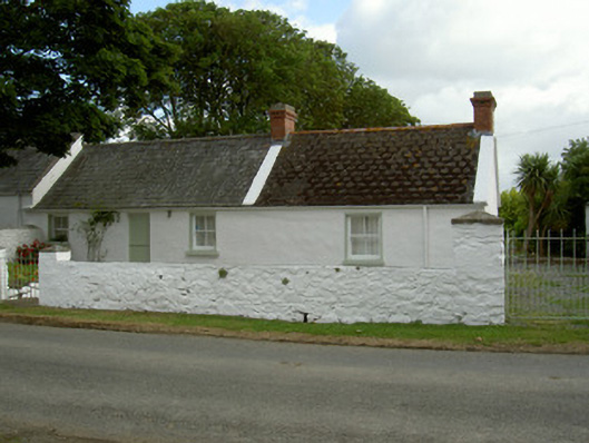
What is recorded here
Attached three-bay single-storey house, built c. 1850. Rectangular-plan, in line extension to south, attached to house to north. Pitched slate roofs, scale finish to tiles south section, clay and concrete ridge tiles, red brick corbelled chimneystacks with dog-tooth mouldings and concrete caps, painted concrete verge coping, cast-iron gutters on painted timber fascia, cast-iron downpipe. Whitewashed lime-rendered walling. Square-headed window openings, painted smooth rendered reveals and soffits, painted stone sills, painted timber two-over-two sliding sash windows, painted timber four-pane windows to east. Square-headed door opening, painted smooth rendered soffits and reveals, painted timber vertically-sheeted half-door. Set in own grounds with gravel areas; bounded to west and south by white-washed random rubble wall, unpainted smooth rendered coping, square gate piers, pyramid caps, painted mild steel pedestrian gates, wrought-iron vehicular gates; garden to east; single-storey outbuilding to south, converted to domestic use; wrought-iron gates to further south.
An attractive house set amongst one of the finest clachan's in the county. The simple design of this house and its associated outbuildings is reflective of the vernacular tradition of building in Ireland. The use of decorative detailing such as the scale detail to the roof is interesting, not least for the contrast it provides with the more traditional materials and techniques employed in the rest of the house.
This does not grant access. Most recorded buildings are privately owned; view them only from public ground unless the owner allows entry.
Places near here
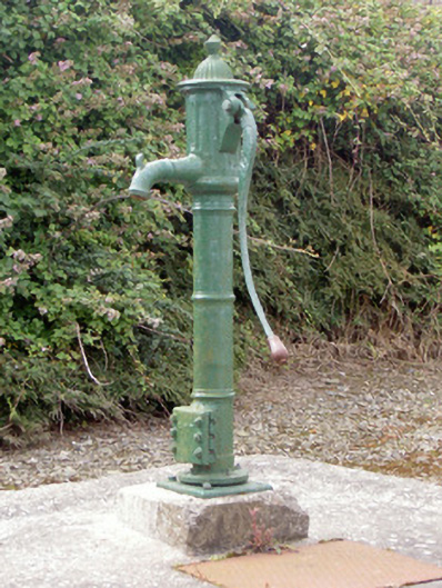 water pumpwater pump · 99 yd
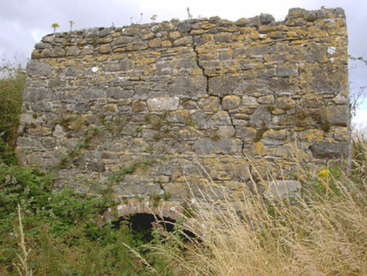 kilnkiln · 602 yd
 Croak BerthanMound · 1582 yd
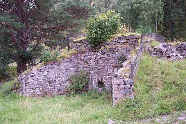 Old lime kilnArchaeological place · 1.1 mi
 Cooley PointHeadland · 1.3 mi
 St James WellSpring · 1.7 mi
 Ballug CastleCastle · 1.8 mi
 Castle in RuinsCastle, unclassified · 2.0 mi
 GreenoreVisitor information · 2.4 mi
 Greenore PointHeadland · 2.6 mi
 The BushPicnic place · 2.8 mi
 Grange UpperMountain / peak · 3.4 mi
Other information
Photo: National Inventory of Architectural Heritage · Website use allowed for educational or private purposes with source credit