
What is recorded here
The Down Survey (1655-6) map shows a dwelling in Whitestown and the Civil Survey of 1654 describes 'two cottages' at Whytestowne (Simington 1945, 73). This maybe on the site of Whitestown House which was built c. 1780.
Compiled by: Geraldine Stout
Date of upload: 26 August 2011
The monument record does not grant public access. Check the route and ask the landowner before entering private land.
- What survives
- Recorded monument
Places near here
 QuarryQuarry · 285 yd
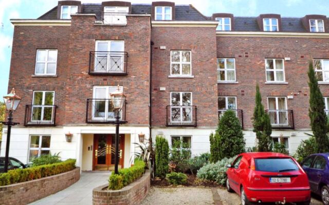 Enclosure in Rath LittleEnclosure · 566 yd
 Bun-na-CnoicMemorial · 686 yd
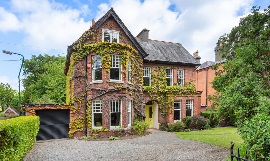 Enclosure in LoughmainEnclosure · 933 yd
 Naul HillMountain / peak · 1079 yd
 Catholic Church of the Nativity of Our Ladychurch/chapel · 1134 yd
 Seamus Ennis Cultural CentreMemorial · 1135 yd
 Bawn in NaulBawn · 1301 yd
 Westown HouseCastle, tower house · 1368 yd
 KnockbrackMountain / peak · 1698 yd
 St Kenny's WellSpring · 1.7 mi
 Tullog WoodForest · 2.0 mi
Other information
Photo: Credit not shown in the picture search · Rights wording not checked; contact us if this picture should be removed