What is recorded here
Half a metre of earth and stone still stands in the wet pasture at Whiterock, marking a circular home nearly twenty metres across. People may have lived inside that ring before the field bank cut through it, but the smaller eastern portion has vanished beneath the soil, leaving only a ghost outline. The fort is no longer a complete shelter, yet its broken banks and hidden entrance preserve the shape of a life that ordinary farming has nearly erased.
In level, low-lying pasture. A raised circular area (diam. 19.2m) enclosed by a low bank of earth and stone (Wth 3.7m; H 0.5m max.), an intervening fosse (Wth 4.1m; D 1.1m) and a wide low outer bank (Wth 7.2m; H 0.5m). The rath is divided into unequal portions by a ENE–WSW field bank and drain. The smaller portion, to the SSE, has been levelled and only its outline is identifiable. A break (Wth 3.25m) in the banks at ENE with an accompanying causeway may mark the original entrance.
Compiled by: Patrick F. O'Donovan
Date of upload: 18 January 2012
The monument record does not grant public access. Check the route and ask the landowner before entering private land.
- What survives
- Recorded monument
Places near here
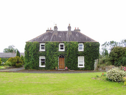 Williamstown Househouse · 685 yd
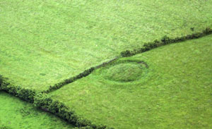 Fairy fort / earthen ringfort in ArdnacassaghFairy fort / earthen ringfort · 866 yd
 Enclosure in Cooleeny,whiterockEnclosure · 926 yd
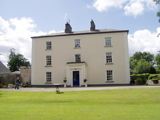 Viewmount Househouse · 1399 yd
 Saint Mel's CathedralCathedral · 1.6 mi
 First World War MemorialMemorial · 1.7 mi
 Bawn in AbbeycartronBawn · 1.9 mi
 CastleCastle, Anglo-Norman masonry castle · 1.9 mi
 Graveyard in Curry (ardagh By., Coolamber Ed)Graveyard · 3.9 mi
 Commons North WalkVisitor information · 10 mi
 Wild birdsVisitor information · 11 mi
 White Sand WoodWood · 11 mi