
What is recorded here
Bun Clóidí marks the bottom of the Clody river in Wexford, where a small canal still cuts through the main street to bring fresh water into homes. The town changed its name twice, losing and recovering its Irish identity across centuries of political change. During the Tithe War, locals clashed with Crown officials over property seizure, leaving twelve peasants dead and twenty fatally wounded. The water canal remains a living monument to human ingenuity, flowing through the heart of the town much like memory flows through time.
Bun Clóidí is recorded as a memorial in County Wexford. Its open map record supplies this location and any linked names or public references.
Places near here
 Tobar 'n IarainnMemorial · 17 yd
 The Wexford RepublicMemorial · 28 yd
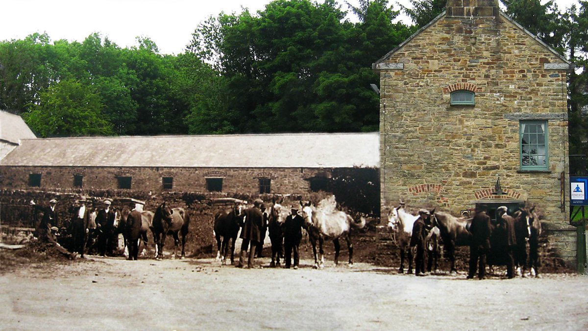 CastlecomerMemorial · 79 yd
 Battle of Oulart Hill signVisitor information · 167 yd
 Tulach a' tSolaisMonument · 411 yd
 Oulart HillMountain / peak · 696 yd
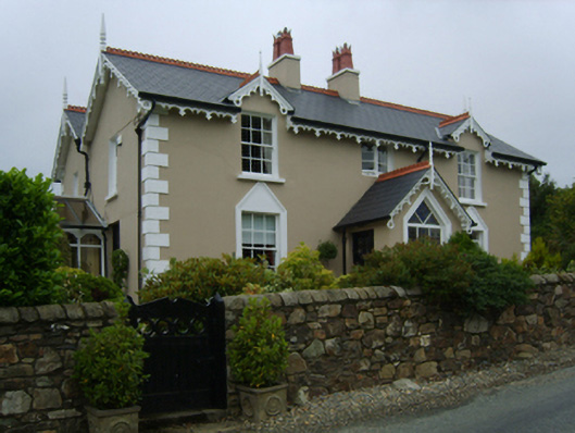 Toorak Lodgehouse · 1053 yd
 St Cormicks WellHoly well · 1.2 mi
 Father Murphy CentreHeritage attraction · 2.6 mi
 Fontainebleau service treeFontainebleau service tree · 2.6 mi
 Birds of PreyVisitor information · 2.9 mi
 Ballingowan MoteCastle, motte · 3.2 mi
Other information
Photo: Credit not shown in the picture search · Rights wording not checked; contact us if this picture should be removed