What is recorded here
Located in the interior of a promontory fort (GA009D027----). Westropp (1911, 63-4) recorded this 'single circular hut 15 feet [4.5m] wide' at the N end of the fort, at the highest point. Like the other house sites (GA009D027001- to GA009D027005-) he recorded, it was built 'with walls of earth and stones' and only survived 'a foot [0.3m] high'. Fragmentary traces now survive.
Compiled by: Olive Alcock
Date of upload: 28 October 2022
The monument record does not grant public access. Check the route and ask the landowner before entering private land.
- What survives
- Recorded monument
Places near here
 DoongraniaPromontory fort, coastal · 1 yd
 West Quarter BeachBeach / strand · 183 yd
 Ecclesiastical enclosure in WestquarterEcclesiastical enclosure · 499 yd
 Inishbofin Signal TowerRuins · 858 yd
 Barrack PointHeadland · 1104 yd
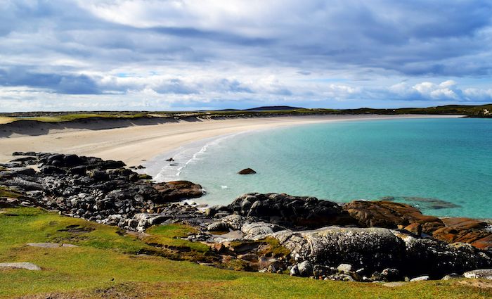 North BeachBeach / strand · 1159 yd
 Vincent Josef O'HalloranMemorial · 1353 yd
 Port IslandIslet · 1399 yd
 InishbofinIsland · 1588 yd
 Site of Guairims CastleCastle, unclassified · 1.0 mi
 DoonmoreBay · 1.1 mi
 PollatlooaCave · 1.4 mi