What is recorded here
Weir is a medieval or post-medieval post-and-wattle fence, 4m long, set on sloping estuarine clays at low water mark on the west bank of the Owenagarney channel in the Shannon Estuary. It lies 18m south of a small creek and 18m north-northeast of Little Quay Island, oriented east-northeast to west-southwest. The structure likely caught fish trapped by tide and current, turning a narrow channel into a place of patience, hunger and repeated return.
On the W bank of the River Owenagarney channel in the Shannon Estuary, 18m S of a small creek and 18m NNE of Little Quay Island. Described by O’Sullivan (2001, 298) as a medieval or post-medieval ‘post-and-wattle fence, oriented ENE-WSW, 4m long, on the sloping estuarine clays at LWM. February 1997.’ (O’Sullivan 2001, 155-7, 298, Bunratty 2)
Compiled by: Mary Tunney
Date of upload: 5 June 2019
The monument record does not grant public access. Check the route and ask the landowner before entering private land.
- What survives
- Recorded monument
Places near here
 Illaunmore PointHeadland · 578 yd
 Bunratty Castlehouse · 810 yd
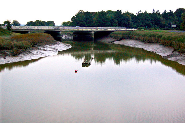 Bunratty Bridgebridge · 821 yd
 Grave Yd.Graveyard · 864 yd
 IndicatedBawn · 901 yd
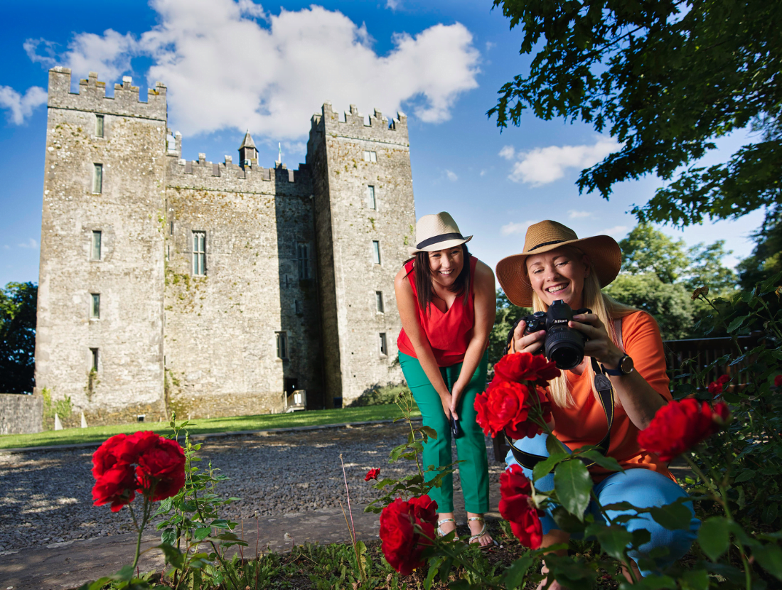 Town defences in Bunratty East,bunratty WestTown defences · 975 yd
 Bunratty Castle and Folk ParkHeritage attraction · 1012 yd
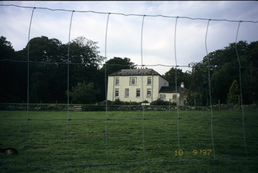 Bunratty Househouse · 1483 yd
 Sweet ChestnutSweet Chestnut · 1544 yd
 Maiden RockNamed rock · 1.1 mi
 Grass IslandIslet · 1.2 mi
 CastleCastle, motte and bailey · 1.7 mi