What is recorded here
Barrow is a barrow (bowl-barrow) in Wattstown, County Westmeath, Ireland. The 2012 survey described a steep-sided, roughly circular earthen and stone mound, measuring 11 metres in both the north-south and east-west directions, with a domed or slightly pointed profile reaching a maximum height of 2.2 metres on the east-northeast side. Composed of large amounts of stone mixed with earth, the mound features thick layers of soil exposed on the east edge where cattle have eroded the surface. Very faint traces of a broad, shallow ditch may surround the base of the mound on the southeast side, while the site lies in low-lying pastureland about 300 metres west of the shore of Lough Owel.
Surveyed in 2012 and described by McGuinness (2012, 35-6) as following: ‘Steep-sided, roughly circular earthen and stone mound (Diam. 11m N-S x 11m E-W) with domed or slightly pointed profile, up to 2.2m high at highest, ENE side. Mound composed of large amounts of stone mixed with earth, but this is not a cairn per se, as some thick (c. 0.4m) layers of soil are exposed where cattle have eroded edge of mound on E side. There are very faint traces of what may be a broad, shallow ditch around base of mound on SE side. Mound is situated in low-lying pastureland c. 300m W of shore of Lough Owel. It has not been positioned on highest local elevation: there is a more prominent rise to SSW in same field and a N-S running ridge immediately NE of mound. Knockdrin (WM012-183----) is visible to E and Frewin Hill (WM011-133----) would he visible to W if there were no trees to obstruct the view.
Compiled by: Caimin O'Brien based on details provided by David McGuinness.
Date of upload: 22 April 2016
Bowl barrow, dating to the Early Bronze Age (c. 2500–1500 BCE). These burial mounds are significant as they represent some of the earliest monumental funerary structures in the British Isles, often associated with elite burials and ritual practices.
The monument record does not grant public access. Check the route and ask the landowner before entering private land.
- What survives
- Recorded monument
Places near here
 Portloman AbbeyChurch · 558 yd
 Partially hachuredFairy fort / earthen ringfort · 607 yd
 Lack LomanArchaeological place · 865 yd
 Nugent's CastleCastle · 1183 yd
 Carrickphilbin IslandIslet · 1193 yd
 IndicatedCastle, motte · 1315 yd
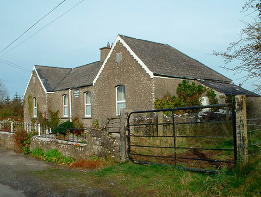 Balrath National Schoolschool · 1.0 mi
 Srudarra IslandIslet · 1.4 mi
 Lady's IslandWood · 2.0 mi
 Scragh Bog Nature ReserveNature reserve · 2.3 mi
 WestmeathVisitor information · 3.5 mi
 Bridge Memorial (Kenna)Memorial · 3.8 mi