What is recorded here
On N angle of Ardee Street and Cork Street excavations in 1993 exposed anN-S extending watercourse which was part of the new course of the Poddle River diverted through the area in the 12th-century (Hayden, 1993, 19, 20).
The monument record does not grant public access. Check the route and ask the landowner before entering private land.
- What survives
- Recorded monument
Places near here
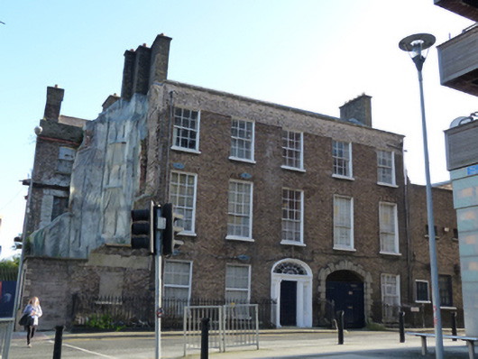 The Brewer's Househouse · 35 yd
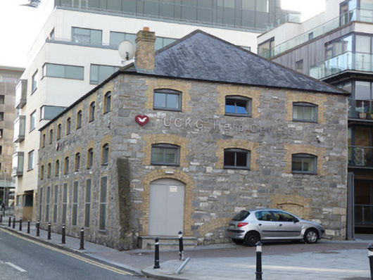 UCKG Help Centremalt house · 68 yd
 Teeling Whiskey CompanyHeritage attraction · 221 yd
 Field system in Unknown TownlandField system · 268 yd
 Courthouse in Unknown TownlandCourthouse · 351 yd
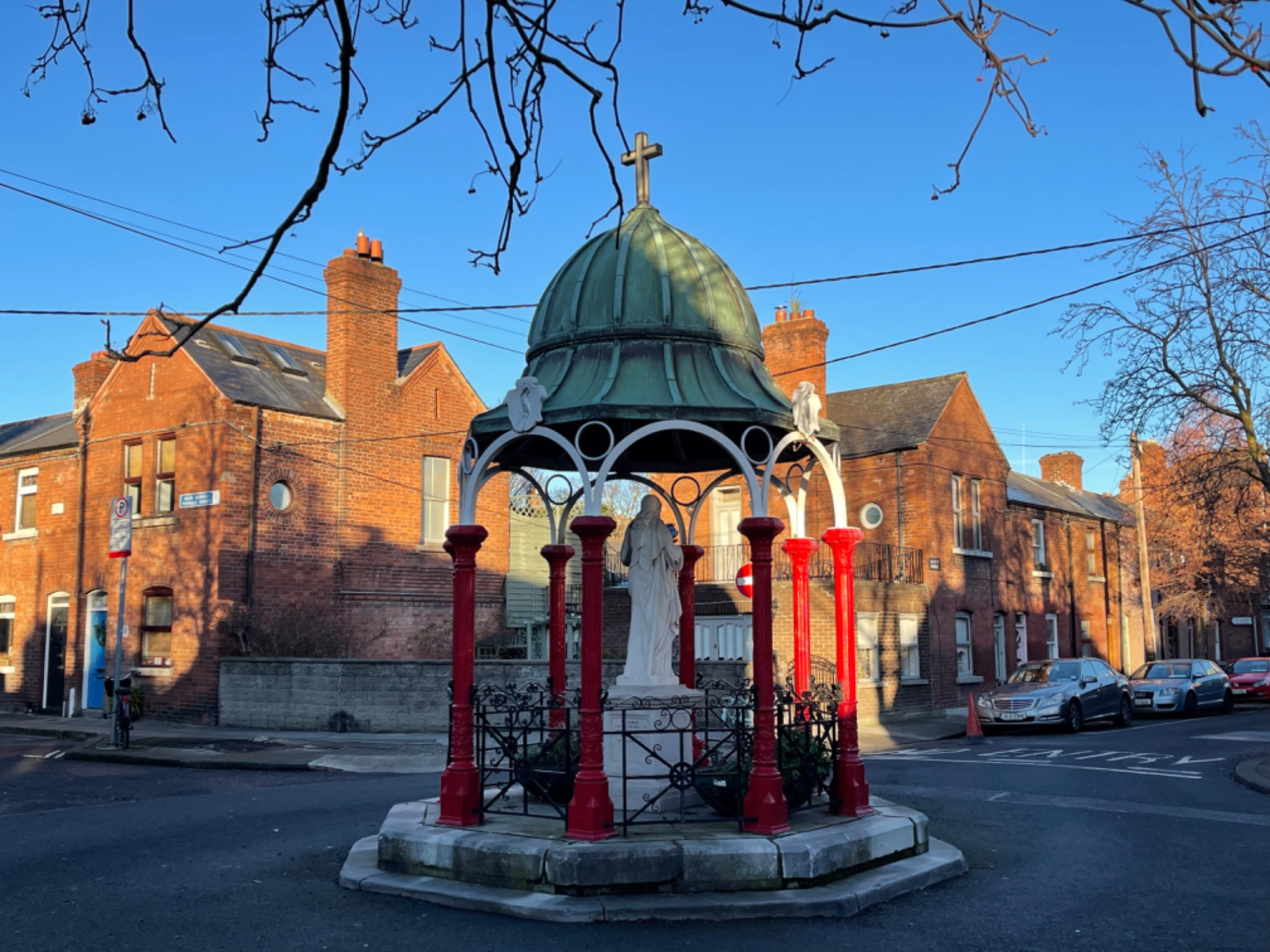 Pallas StudiosGallery · 373 yd
 Graveyard in Unknown TownlandGraveyard · 385 yd
 Site of Saint Patrick's wellMemorial · 582 yd
 Medieval DublinVisitor information · 641 yd
 European PearEuropean Pear · 710 yd
 Bus Route InformationVisitor information · 1137 yd
 CastleCastle, unclassified · 1341 yd