
What is recorded here
The Down Survey (1655-6) map shows a mill on the site marked as'Rutland mill' on the 1837 OS 6-inch map. It is also mentioned in the Civil survey (1654-6) (Simington 1945, 292). There are no visible remains.
This remains an important historical record, but the official description says the monument is no longer visible or has been destroyed. The monument record does not grant public access. Check the route and ask the landowner before entering private land.
- What survives
- No visible remains or recorded as destroyed
Places near here
 Jewish Cemeterygraveyard/cemetery · 362 yd
 Windmill in Unknown TownlandWindmill · 466 yd
 Arthur Guinness the SecondMemorial · 582 yd
 Éamonn CeanntMemorial · 610 yd
 Parnell Bridgebridge · 638 yd
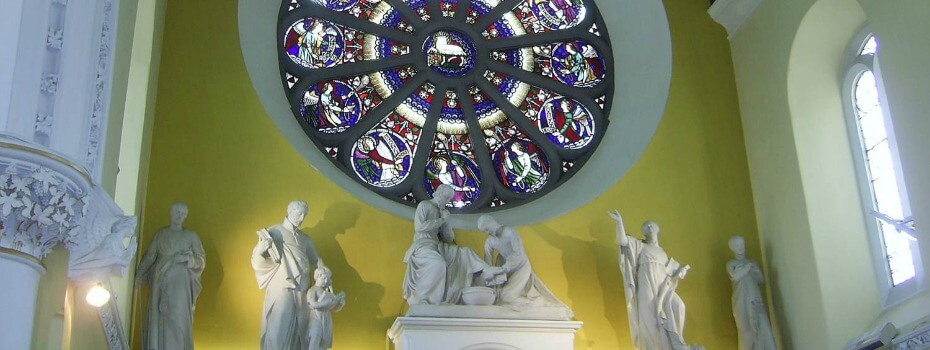 Mary Aikenhead Heritage CentreMuseum · 692 yd
 Site of Donore Castle indicatedCastle, unclassified · 889 yd
 La Galerie ImpromptuGallery · 1172 yd
 Bus Route InformationVisitor information · 1597 yd
 Workhouse in Unknown TownlandWorkhouse · 1.0 mi
 European PearEuropean Pear · 1.2 mi
 Mote (site of)Castle, motte · 1.2 mi
Other information
Photo: Credit not shown in the picture search · Rights wording not checked; contact us if this picture should be removed