What is recorded here
The fairy fort or earthen ringfort in Urard is in County Tipperary, Ireland. The 2011 source records a 41-metre northwest-southeast circular area on high pasture, enclosed by an earth-and-stone bank, a shallow ditch and an outer bank that may be a later field boundary. A 4-metre entrance gap opens at east. The account describes the monument as heavily overgrown and largely levelled, but records the bank and traces of an outer ditch as visible in the northwest quadrant.
On top of high ground in pasture with an impressive panoramic siting. This heavily overgrown monument consists of a circular area (int. diam. 41m NW-SE) enclosed by an earth and stone bank (top Wth 0.7m; base Wth 2.5m; ext. H 1.6m; int. H 1.1m), a fosse (base Wth 2.4m; top Wth 5m; ext. D 0.2m ) and outer bank (top Wth 1.4m; base Wth 3m; ext. H 0.8m) with an entrance gap (Wth 4m) at the E. The outer bank may be a later enclosing field boundary. It has been largely levelled, but it, together with traces of an outer fosse, are visible in the NW quadrant.
Compiled by: Jean Farrelly
Date of upload: 26 August 2011
The monument record does not grant public access. Check the route and ask the landowner before entering private land.
- What survives
- Recorded monument
Places near here
 Partially hachuredEnclosure · 507 yd
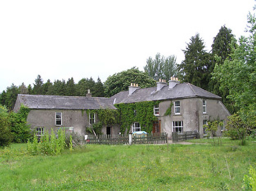 George's Parkhouse · 1008 yd
 IndicatedEnclosure · 1156 yd
 Kilcooly Abbeyboathouse · 1.2 mi
 Black CastleCastle, hall-house · 1.2 mi
 KilcooleyForest · 1.3 mi
 Fennor Castle (in Ruins)Castle, unclassified · 1.6 mi
 Serpentine WoodForest · 1.6 mi
 Bregaun HillMountain / peak · 3.4 mi
 John HelyMemorial · 4.0 mi
 DelaneyMemorial · 4.2 mi
 Clomantagh HillMountain / peak · 4.4 mi