
What is recorded here
Indicated is a lost cluster of buildings in County Dublin, not a named town or village. It may have sat near Ringsend, where a port appeared for Dublin in the 17th century. By 1660, small numbers of English and Irish people lived there, suggesting ordinary streets, kitchens and harbour work rather than grand design. The cluster disappeared from memory, leaving only the possibility that it once ringed a church, a road or a waterfront now renamed.
Ringsend developed as a port for Dublin in the 17th century. By 1660 there were 59 inhabitants of English origin and 21 Irish living in the village. A view of Ringsend shows a cluster of buildings around the Church of Ireland erected in 1704 (Ball 1907, 38; Flynn, 1909, 1-17). Not precisely located.
The monument record does not grant public access. Check the route and ask the landowner before entering private land.
- What survives
- Recorded monument
Places near here
 Grand Canal DocksVisitor information · 182 yd
 Westmoreland Lock, Buckingham Lock, Camden Locklock · 218 yd
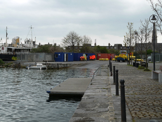 dry dockdry dock · 229 yd
 Hanover StudiosHeritage attraction · 562 yd
 Quay in Unknown TownlandQuay · 572 yd
 Settlement cluster in Unknown TownlandSettlement cluster · 655 yd
 Waxie's DargleMemorial · 726 yd
 Waterways Ireland Visitors CentreVisitor information · 778 yd
 International Centre for the ImageGallery · 818 yd
 Irish Mercantile Marine MemorialMemorial · 871 yd
 Burning of the Custom Housearmed conflict · 1.1 mi
 Oriental planeOriental plane · 1.1 mi
Other information
Photo: Credit not shown in the picture search · Rights wording not checked; contact us if this picture should be removed