What is recorded here
Excavations in 1993 uncovered the remains of the earliest earthen defences at the S side of the town. These developed from a low counter scarp bank (H 0.75m) to a raised earthen mound (H 4m, Wth 5m). A post and wattle fence had been added. It was replaced in the 12th-century by a stone wall (H 3.5m) whose rear face was battered. At the S end of the site the Anglo-Norman town wall was uncovered with a large sub-rectangular stone building abutting it (L 11.6m, Wth 6.4m). This was a two-storey building. An original doorway with Dundrystone jambs was located in the E wall. It has been interpreted as a garrison for troops defending the town wall (Walsh 1994, 16-17).
The monument record does not grant public access. Check the route and ask the landowner before entering private land.
- What survives
- Recorded monument
Places near here
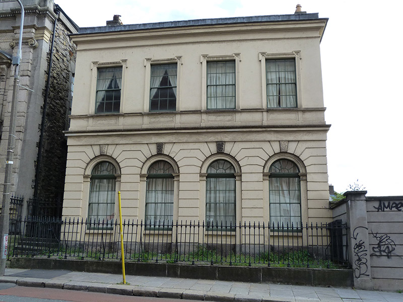 Christ Church Deaneryschool · 43 yd
 Furnace in Unknown TownlandFurnace · 49 yd
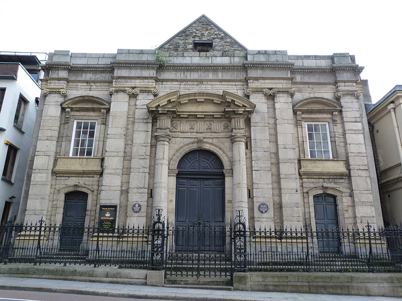 St. Werburgh's Churchchurch/chapel · 63 yd
 Graveslab in Unknown TownlandGraveslab · 107 yd
 St. Michael's le Pale Church YardMemorial · 191 yd
 CastleCastle, Anglo-Norman masonry castle · 199 yd
 Veronica GuerinHeritage attraction · 205 yd
 Newcomen BankVisitor information · 234 yd
 Special Olympics MemorialMonument · 239 yd
 Dublin Castlegates/railings/walls · 241 yd
 Tourist Information CentreVisitor information · 316 yd
 Bigleaf MapleBigleaf Maple · 992 yd