What is recorded here
Oxmantown Watch House (King Street North)
Annotated ‘Watch House’ on Rocque's 1756 map of the Dublin City, where it is shown as a keyhole shaped structure standing at the eastern end of Oxmantown (now King Street North) close to the junction with Church Street (Rocque 1756).
Compiled by: Caimin O'Brien
Date of Compilation: 13 November 2025
The monument record does not grant public access. Check the route and ask the landowner before entering private land.
- What survives
- Recorded monument
Places near here
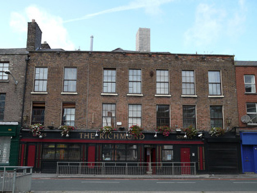 The Richmondhouse · 34 yd
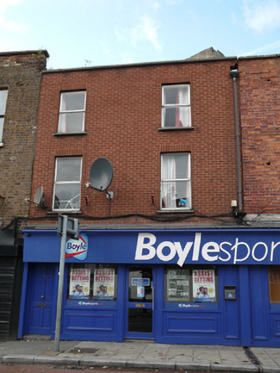 Boyle Sportshouse · 48 yd
 Habitation site in Unknown TownlandHabitation site · 240 yd
 London PlaneLondon Plane · 273 yd
 Hungry TreeHeritage attraction · 278 yd
 Burial in Unknown TownlandBurial · 290 yd
 Old Jameson DistilleryMuseum · 291 yd
 Apple OrchardVisitor information · 446 yd
 King's Inns ParkVisitor information · 450 yd
 UN Veterans MemorialMemorial · 842 yd
 Croppies Acre MemorialMemorial · 867 yd
 European PearEuropean Pear · 1006 yd