What is recorded here
Thirty-eight metres of dark earth stretch east from St Werburgh’s Church in Dublin, holding a graveslab that may date to the thirteenth century. The rectangle has watched the city grow since before maps existed, keeping quiet company with whoever walked its edge.
Rectangular-shaped graveyard (dims. c. 22m N-S x 38m E-W) attached to the E end St Werburgh’s Church (DU018-020079-) which contains a graveslab (DU018-417----) may be dated to the 13th/14th century (pers. comm. Joe Cully, 1 October 2014).
See attached section of Rocque's 1756 Map of Dublin City which shows the graveyard attached to the E end of St. Werburgh's Church.
Compiled by: Caimin O'Brien
Date of upload: 5 July 2023
The monument record does not grant public access. Check the route and ask the landowner before entering private land.
- What survives
- Recorded monument
Places near here
 Graveslab in Unknown TownlandGraveslab · 16 yd
 Castle Stepssteps · 20 yd
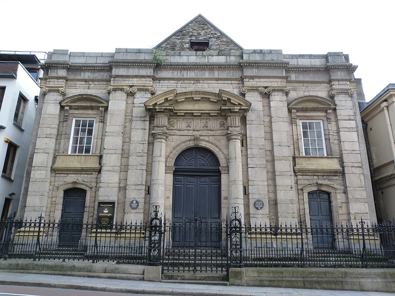 St. Werburgh's Churchchurch/chapel · 35 yd
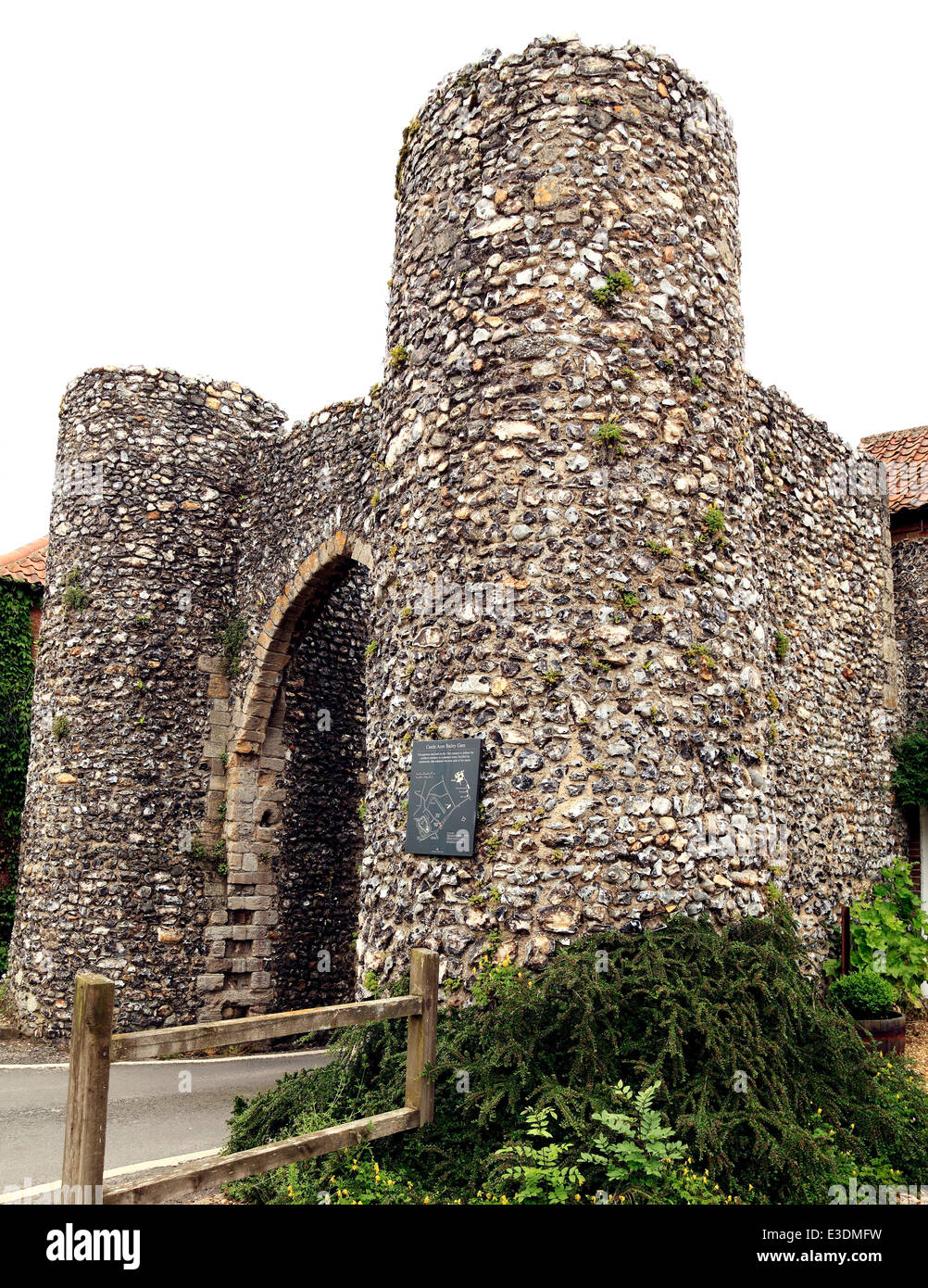 Town defences in Unknown TownlandTown defences · 59 yd
 CastleCastle, Anglo-Norman masonry castle · 106 yd
 Veronica GuerinHeritage attraction · 124 yd
 Dublin Castlegates/railings/walls · 152 yd
 Newcomen BankVisitor information · 153 yd
 St. Michael's le Pale Church YardMemorial · 156 yd
 Special Olympics MemorialMonument · 172 yd
 Battle of DublinMajor battlefield · 207 yd
 Tourist Information CentreVisitor information · 226 yd