What is recorded here
Thirty-seven metres of dark soil stretch south from the Royal Chapel, holding the dead of Irishtown since the Corporation raised St Matthew in 1704. Richard Mills added his tower in 1713, but the graveyard remains the older, deeper voice, waiting beneath the pavement for footsteps that never return.
Rectangular shaped graveyard (dims. c. 28m N-S x 37m E-W) of 18th century date attached to the S side of the Royal Chapel (DU018-054001-) of St Matthew at Irishtown which was built by the Corporation in 1704-6; the tower by Richard Mills in 1713 (Craig 1969, 112).
See attached photographs taken from https://livetofivehundred.wordpress.com/2014/02/05/st-matthews-church-on-irishtown-road/
Compiled by: Geraldine Stout
Revised by: Caimin O'Brien
Date of revised update: 11 November 2022
The monument record does not grant public access. Check the route and ask the landowner before entering private land.
- What survives
- Recorded monument
Places near here
 Church in Unknown TownlandChurch · 26 yd
 Settlement cluster in Unknown TownlandSettlement cluster · 100 yd
 Waxie's DargleMemorial · 115 yd
 Irish Mercantile Marine MemorialMemorial · 190 yd
 New BridgeBridge · 525 yd
 IndicatedSettlement cluster · 728 yd
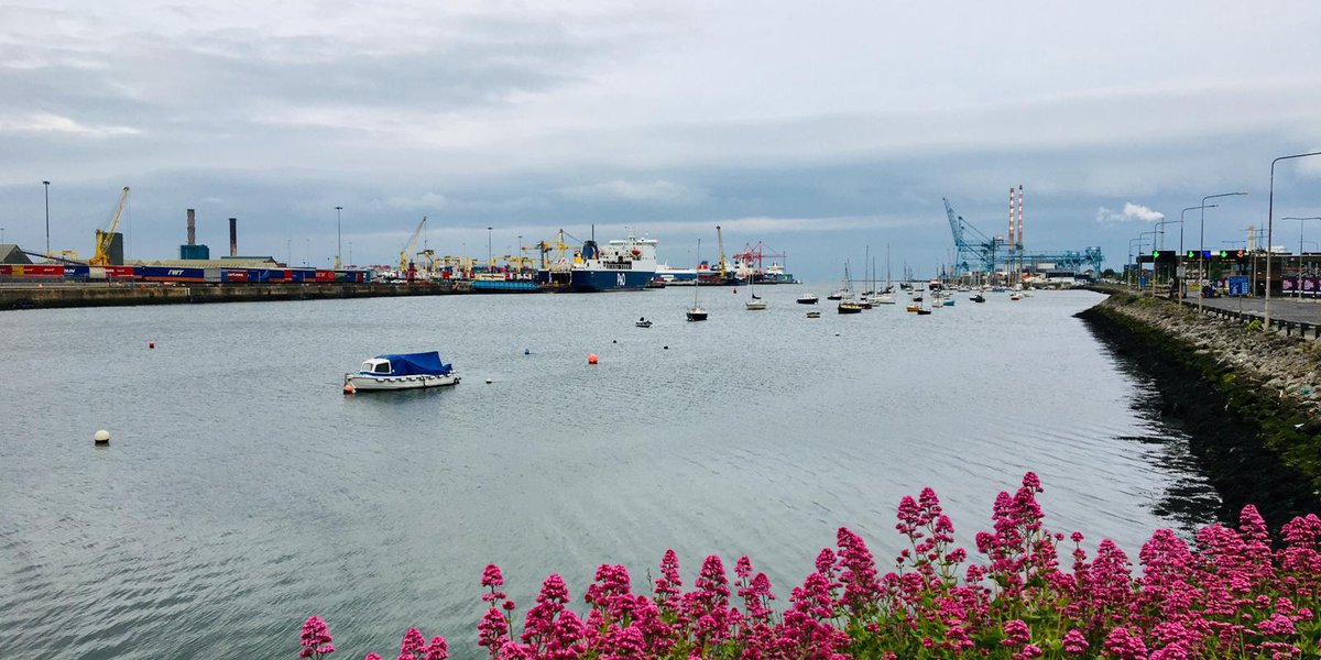 Poolbeg Yacht & Boat ClubHeritage attraction · 743 yd
 Sandymount StrandBeach / strand · 875 yd
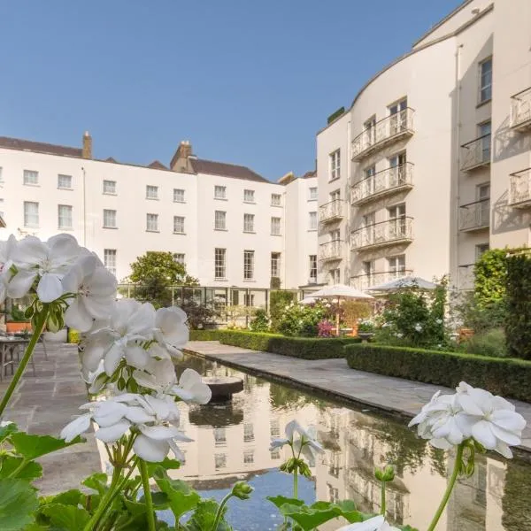 Gallery 4Gallery · 892 yd
 Grand Canal DocksVisitor information · 894 yd
 Hybrid strawberry treeHybrid strawberry tree · 918 yd
 Waterways Ireland Visitors CentreVisitor information · 1256 yd