What is recorded here
Killester Road, Dublin. The unknown townland may have been called something else before the road took its name, but the dead kept the older boundary. A small raised graveyard stands on the north side of the avenue, enclosed by a stone wall and crowded on every side by housing estates. Inside are the remains of a medieval parish church and memorials dating from the eighteenth and nineteenth centuries, one marked 1741. The living built around the graves instead of clearing them, as if the road had to bend beside what the townland still remembered.
A small, raised graveyard on the N side of Killester Avenue enclosed by a stone wall. It is overgrown and surrounded on all sides by housing estates. It contains the remains of a medieval parish church (DU019-01001-). The memorials in the graveyard are of 18th-19th century date including one which dates to 1741.
Medieval graveyard associated with a parish church; dates to the late medieval period. Its significance lies in its potential to provide insights into local ecclesiastical and burial practices.
The monument record does not grant public access. Check the route and ask the landowner before entering private land.
- What survives
- Recorded monument
Places near here
 Church (in ruins)Church · 2 yd
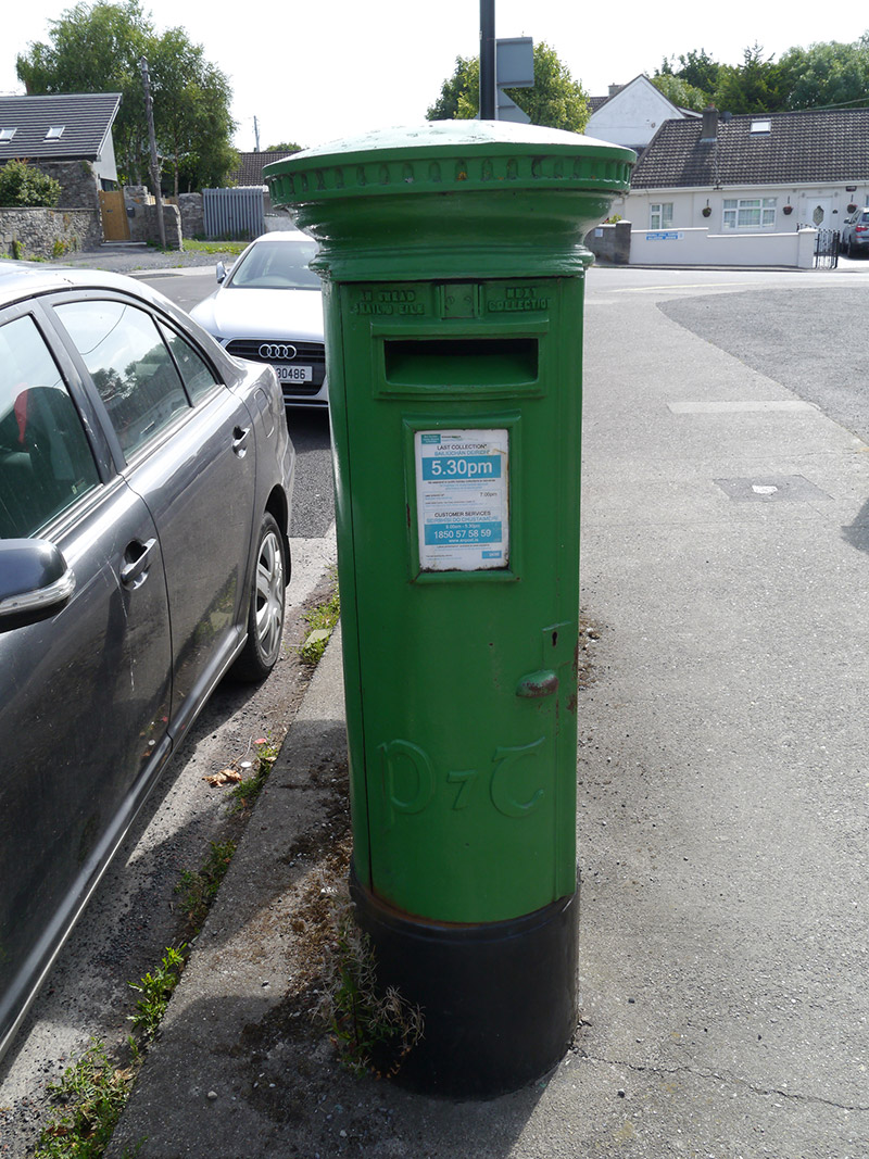 post boxpost box · 71 yd
 St. Dennis WellHoly well · 874 yd
 Grave Yd. OutlinedGraveyard · 935 yd
 Clontarf War MemorialMemorial · 1321 yd
 Battle of ClontarfMajor battlefield · 1364 yd
 Clontarf Castle HotelVisitor information · 1377 yd
 Casino at MarinoHeritage attraction · 1528 yd
 Millennium ArboretumWood · 1615 yd
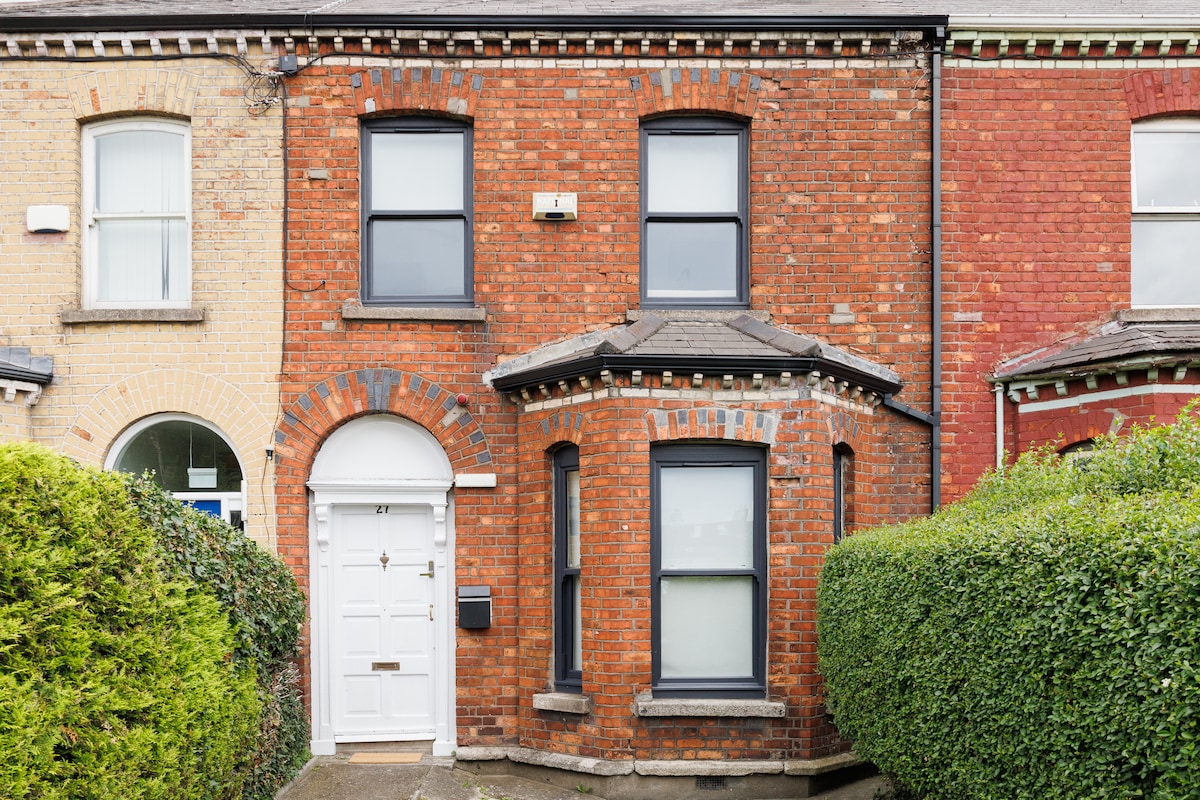 StudioGallery · 1683 yd
 London PlaneLondon Plane · 1745 yd
 Killing of David Byrnemurder · 1.6 mi