What is recorded here
The sub-circular graveyard in County Dublin hints at a pre-Norman ecclesiastical enclosure, though no exact date has emerged from its soil. A concentric ditch rings the churchyard, while two pits holding burnt material suggest medieval activity within that boundary. A later east-west ditch may have marked an outer limit before deliberate infilling, and the present wall perhaps traces an inner circle. The shape survives even when the hands that made it have vanished.
The graveyard is sub-circular in plan suggesting the existence of a pre-Norman ecclesiastical enclosure. An archaeological assessment in 1998revealed a ditch outside and concentric to the boundary of the churchyard. No datable finds were recovered from it. Inside the ditch two pits containing burnt material were revealed. They are likely to be of medieval date (Hayden 2000, ). Further works in 1999 revealed a ditch feature traversing the site from east to west. The ditch possibly represents an outer enclosing element around the medieval churchyard and was purposely infilled in the later medieval period. The present graveyard wall may be indicative of an inner circular enclosure (Murphy, 2000, 58).
The monument record does not grant public access. Check the route and ask the landowner before entering private land.
- What survives
- Recorded monument
Places near here
 Mote (site of)Castle, motte · 84 yd
 IndicatedHouse, 17th/18th century · 394 yd
 Windmill in Unknown TownlandWindmill · 448 yd
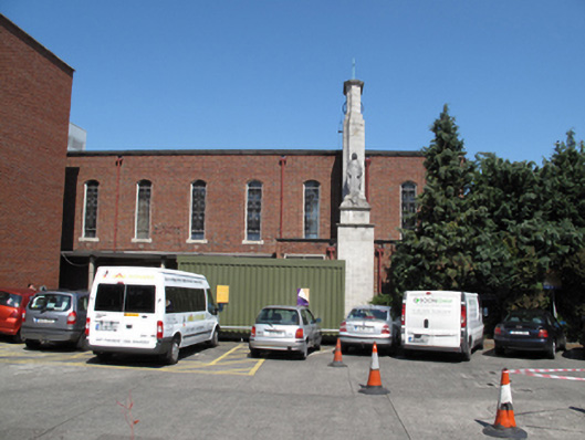 Our Lady's Children's Hospitalchurch/chapel · 473 yd
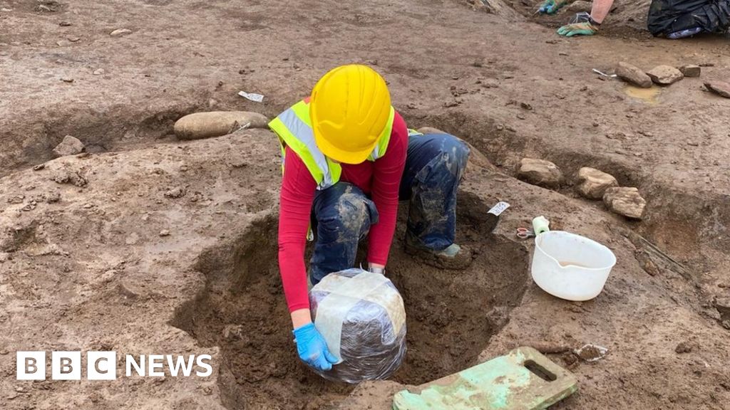 Urn burials (site of)Flat cemetery · 1355 yd
 Carriglea Industrial EstateMemorial · 1379 yd
 Shanahan House - CSSpMemorial · 1.0 mi
 Toni'sPicnic place · 1.2 mi
 Kilmainham Jail MuseumMuseum · 1.4 mi
 Bus Route InformationVisitor information · 1.5 mi
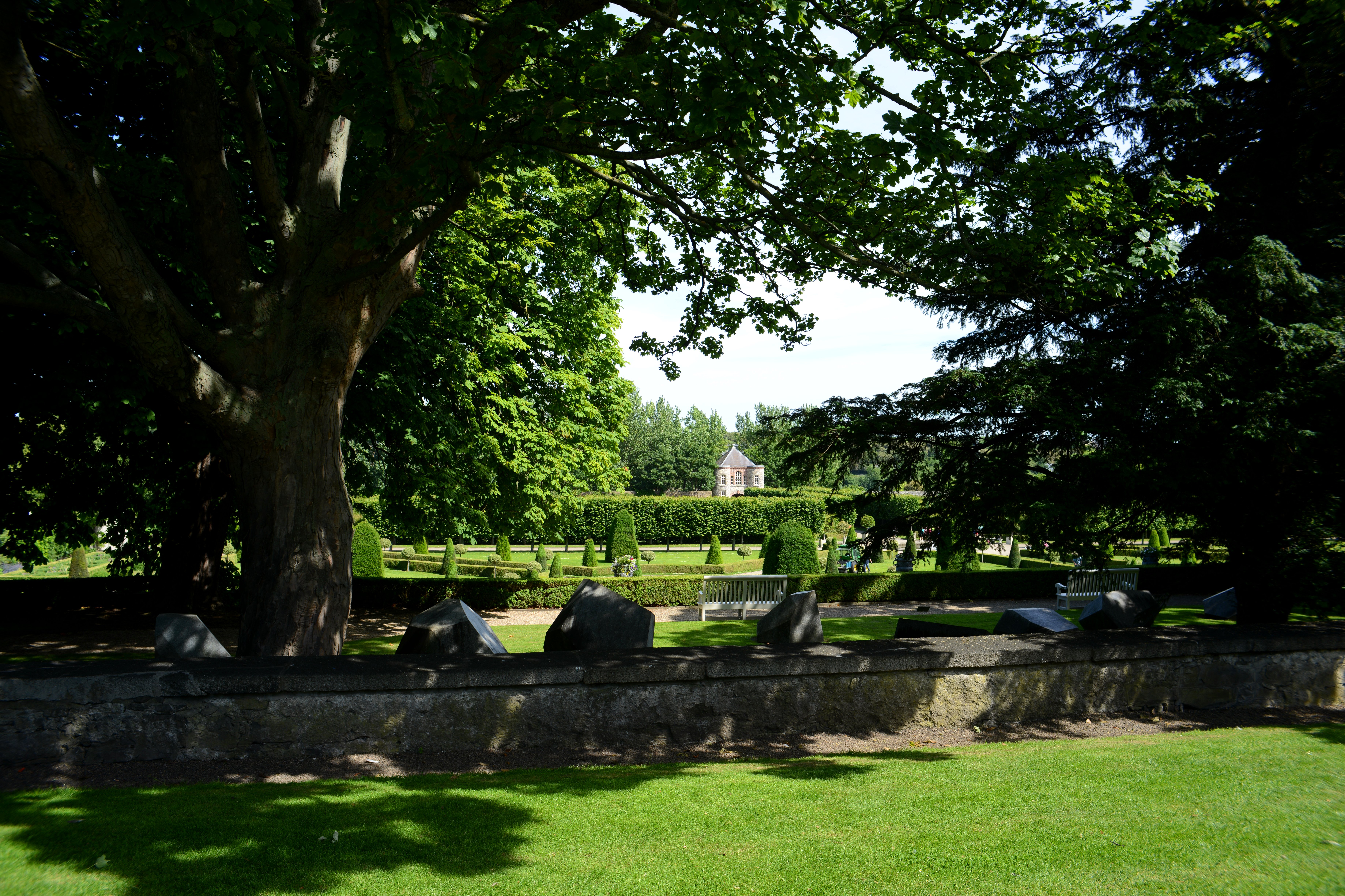 The Formal Garden at The Royal Hospital KilmainhamHeritage attraction · 1.7 mi
 Rathgar CastleCastle, unclassified · 2.0 mi