
What is recorded here
Situated in S sector of the Phoenix Park. Cropmark of building of unknown antiquity aligned NW-SE visible on Google Earth aerial imagery taken 29/05/2018. Cropmark of crenellated lines of World War I practice trenches visible 60m to N.
See attached Google Earth orthoimage taken 29/05/2018.
Compiled by: Caimin O'Brien
Date of upload: 22 May 2020
The monument record does not grant public access. Check the route and ask the landowner before entering private land.
- What survives
- Recorded monument
Places near here
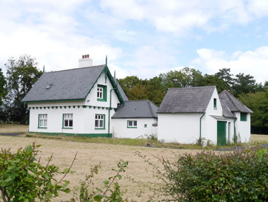 Phoenix Parkworker's house · 212 yd
 Enclosure in Unknown TownlandEnclosure · 325 yd
 BarrowBarrow, ditch barrow · 345 yd
 IndicatedRoad, road/trackway · 482 yd
 Islandbridge LodgeVisitor information · 888 yd
 Horse-chestnutHorse-chestnut · 1284 yd
 Toni'sPicnic place · 1358 yd
 Irish Citizen ArmyMemorial · 1360 yd
 GiraffeHeritage attraction · 1385 yd
 Graveyard in Unknown TownlandGraveyard · 1404 yd
 Asian lionHeritage attraction · 1407 yd
 Oldtown WoodWood · 1607 yd
Other information
Photo: Credit not shown in the picture search · Rights wording not checked; contact us if this picture should be removed