
What is recorded here
Situated in the S quadrant of the Phoenix Park. Cropmark of circular-shaped area (approx. int. diam. 15m) defined by a ditch visible on Google Earth orthophotograph taken 28/01/2017.
See attached orthophoto taken from Google Earth dated 28/01/2017
Compiled by: Caimin O'Brien
Date of upload: 22 May 2020
Ditch barrow, likely dating to the Early Bronze Age. Its presence indicates prehistoric burial or ceremonial activity in the Phoenix Park area.
The monument record does not grant public access. Check the route and ask the landowner before entering private land.
- What survives
- Recorded monument
Places near here
 Burial in Unknown TownlandBurial · 337 yd
 Magazine FortBastioned fort · 363 yd
 Phoenix Parkworker's house · 429 yd
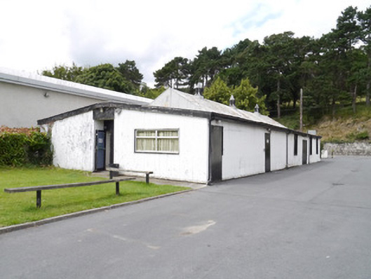 Neptune Rowing Clubsports hall/centre/gymnasium · 528 yd
 Islandbridge LodgeVisitor information · 593 yd
 Horse-chestnutHorse-chestnut · 939 yd
 GiraffeHeritage attraction · 1080 yd
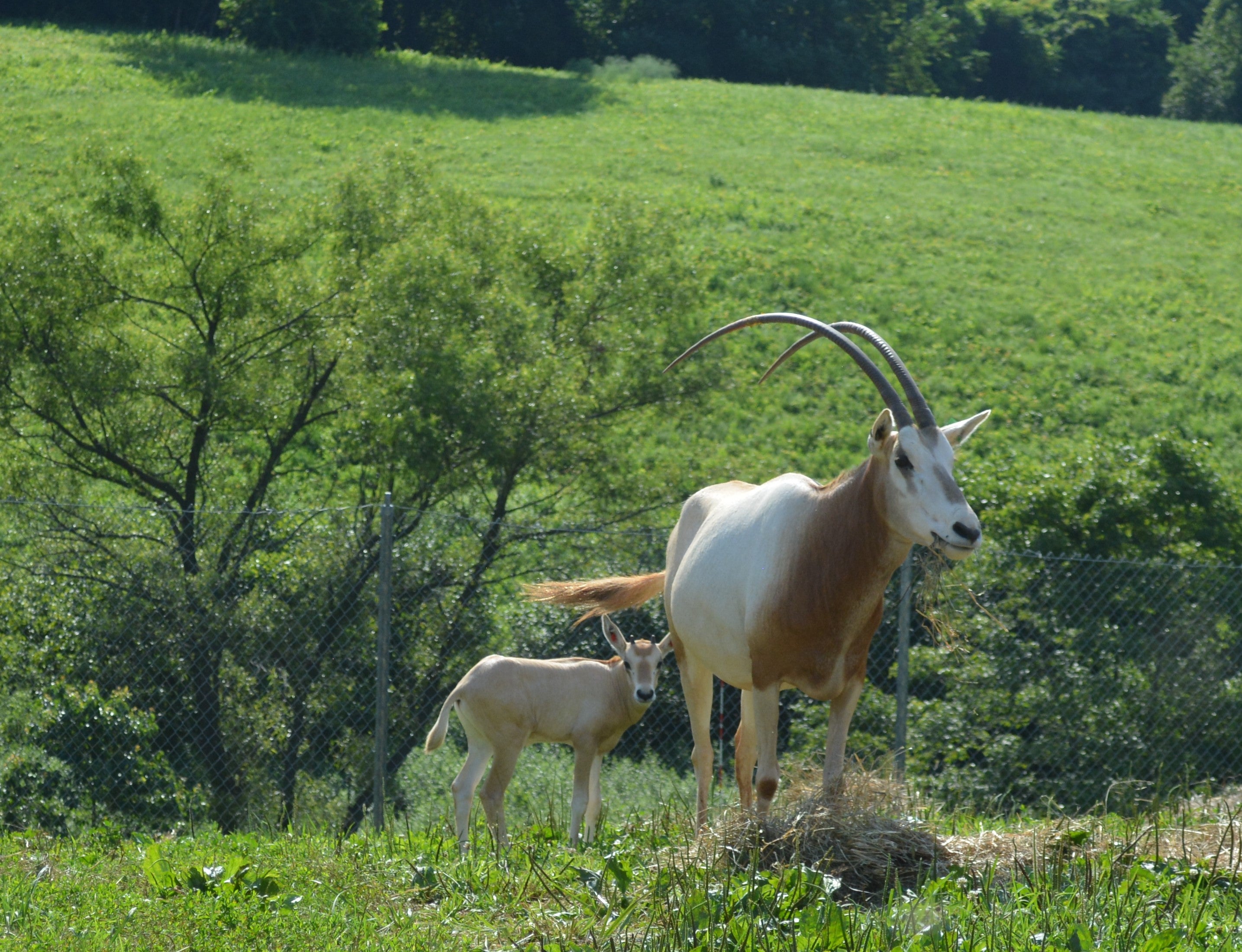 Scimitar-horned oryxHeritage attraction · 1111 yd
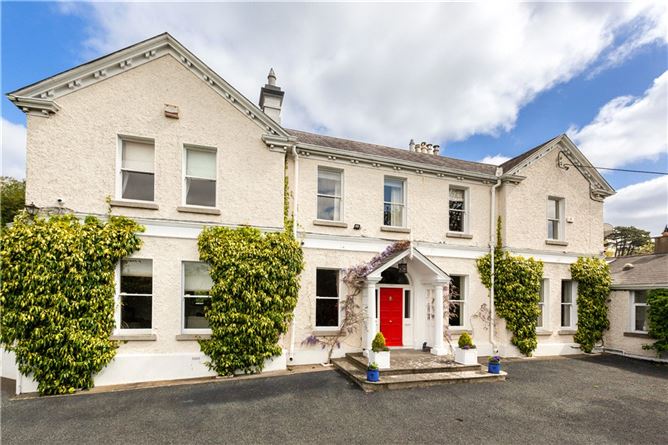 Chapelizod BypassMemorial · 1223 yd
 Executions of the leaders of the 1916 risingMemorial · 1282 yd
 Toni'sPicnic place · 1300 yd
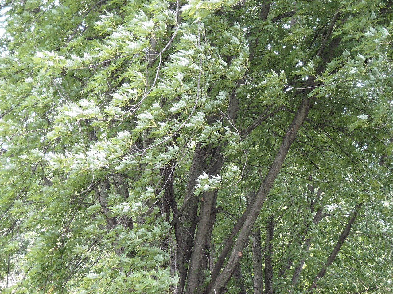 Silver mapleSilver maple · 1417 yd
Other information
Photo: Credit not shown in the picture search · Rights wording not checked; contact us if this picture should be removed