
What is recorded here
De Courcey (1996, 8) mentions a bridge, which spanned the river Bradogue in an area known as Ankisters Parke in the 17th century. No visible trace.
This remains an important historical record, but the official description says the monument is no longer visible or has been destroyed. The monument record does not grant public access. Check the route and ask the landowner before entering private land.
- What survives
- No visible remains or recorded as destroyed
Places near here
 City Fruit and Vegetable Wholesale Marketsmarket house · 70 yd
 Saint Mary's Abbey Chapter Houseabbey · 85 yd
 National Leprechaun MuseumHeritage attraction · 106 yd
 Quay in Unknown TownlandQuay · 361 yd
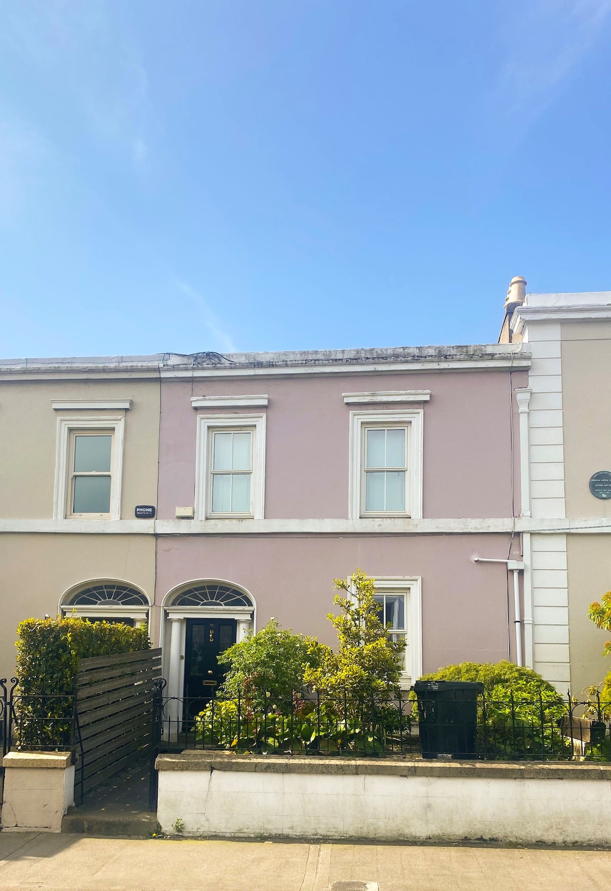 Ecclesiastical residence in Unknown TownlandEcclesiastical residence · 367 yd
 Newcomen BankVisitor information · 417 yd
 Dublin City HallHeritage attraction · 449 yd
 Gairdín Súgartha i gCuimhne ar na Páistí a Cailleadh in 1916Memorial · 539 yd
 London PlaneLondon Plane · 644 yd
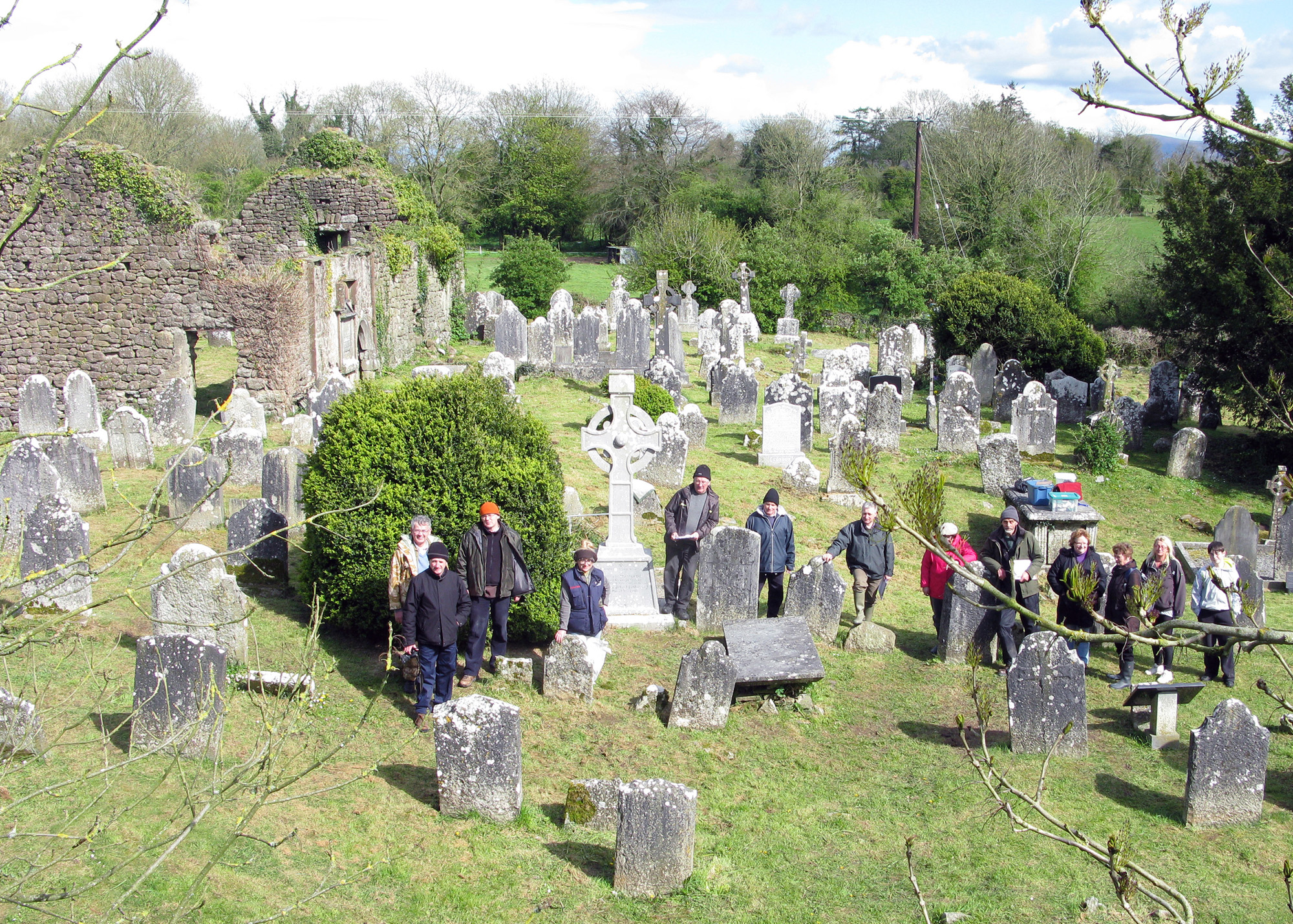 Graveyard in Unknown TownlandGraveyard · 938 yd
 Apple OrchardVisitor information · 938 yd
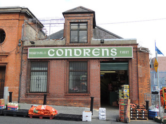 Condron'sshop/retail outlet · 87 yd
Other information
Photo: Credit not shown in the picture search · Rights wording not checked; contact us if this picture should be removed