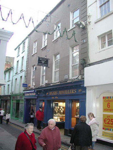
What is recorded here
Terraced four-bay three-storey house with half-dormer attic, extant 1840, on a rectangular plan. Subdivided, pre-1903, producing present composition. Renovated, ----, with replacement shopfronts inserted to ground floor. Pitched slate roof with cast-iron rainwater goods on rendered eaves retaining cast-iron octagonal or ogee hoppers and downpipes. Rendered, ruled and lined wall (upper floors) with rusticated rendered quoined piers to ends centred on steel "Pattress" tie plates. Square-headed window openings (upper floors) with cut-granite sills, and concealed dressings framing replacement uPVC casement windows replacing six-over-six timber sash windows having overlights (first floor) or six-over-six timber sash windows (top floor). Street fronted with concrete footpath to front.
A house representing an integral component of the built heritage of Wexford with the architectural value of the composition suggested by such attributes as the compact rectilinear plan form; the diminishing in scale of the openings on each floor producing a graduated visual impression; and the high pitched roofline. Having been well maintained, the elementary form and massing survive intact together with quantities of the original fabric, both to the exterior and to the interior, including the remnants of a Classically-detailed shopfront photographed by Robert French (1841-1917) for the Lawrence Collection: however, the recent substitution of the so-called "Wexford Window" sash-and-overlight glazing patterns has not had a beneficial impact on the character or integrity of a house making a pleasing visual statement in Main Street North.
This does not grant access. Most recorded buildings are privately owned; view them only from public ground unless the owner allows entry.
Places near here
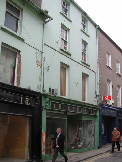 Corryhouse · 10 yd
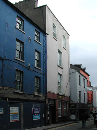 Corish Memorial Hallhouse · 21 yd
 The Collins-Grant GalleryGallery · 35 yd
 1798 MemorialMemorial · 136 yd
 Halla KennyMemorial · 189 yd
 Three Sisters River CruisesHeritage attraction · 210 yd
 Field boundary in Townparks (st. John's Par.)Field boundary · 226 yd
 Field boundary in Townparks (st. Peter's Par.) (part of )Field boundary · 316 yd
 Siege of Wexfordsiege · 648 yd
 Sack of Wexfordsiege · 652 yd
 Castle (in ruinis)Castle, tower house · 2.1 mi
 Douglas-firDouglas-fir · 3.5 mi
Other information
Photo: National Inventory of Architectural Heritage · Website use allowed for educational or private purposes with source credit