
What is recorded here
Archaeological testing (03E0204) identified a ditch (Wth 4m; D 0.65m) containing post-medieval pottery running NW-SE c. 8m NE of the graveyard wall of St. John’s graveyard (WX037-032034-), which may be part of an original boundary of the graveyard or a field boundary. (Moloney and Gleeson 2003)
Compiled by: Michael Moore
Date of uplaod: 18 December, 2012
The monument record does not grant public access. Check the route and ask the landowner before entering private land.
- What survives
- Recorded monument
Places near here
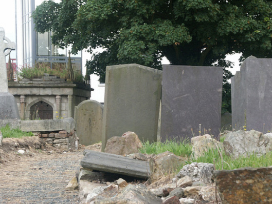 mausoleummausoleum · 37 yd
 Wexford Arts Centremarket house · 81 yd
 Structure in WexfordStructure · 115 yd
 Falla SeilscearMemorial · 134 yd
 The Collins-Grant GalleryGallery · 192 yd
 1798 MemorialMemorial · 195 yd
 Field boundary in Townparks (st. Peter's Par.) (part of )Field boundary · 298 yd
 Three Sisters River CruisesHeritage attraction · 394 yd
 Siege of Wexfordsiege · 838 yd
 Sack of Wexfordsiege · 841 yd
 Castle (in ruinis)Castle, tower house · 2.0 mi
 Dawn RedwoodDawn Redwood · 2.2 mi
Other information
Photo: Credit not shown in the picture search · Rights wording not checked; contact us if this picture should be removed