What is recorded here
Digital aerial photographs (WX046-090_1, _2) taken in June 2004 show the vegetation mark in pasture of an enclosure (int. diam. c. 30m) defined by a wide fosse feature. The precise location is not known, but it is in the Carrick-on-Bannow to Duncormick area.
Compiled by: Michael Moore
Date of upload: 20 August, 2013
The monument record does not grant public access. Check the route and ask the landowner before entering private land.
- What survives
- Recorded monument
Places near here
 bridgebridge · 402 yd
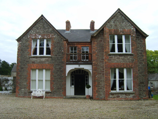 Bellgrove Villafarm house · 1025 yd
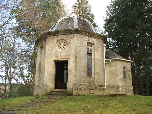 Site of R. C. ChapelChurch · 1234 yd
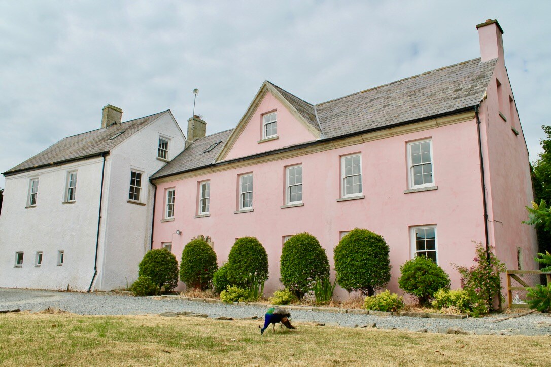 Embanked enclosureCastle, motte and bailey · 1315 yd
 Field system in DuncormickField system · 1317 yd
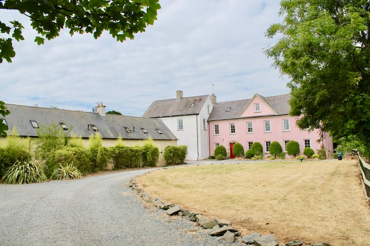 Castle (in ruins)Castle, tower house · 1418 yd
 Cull IslandIsland · 2.4 mi
 Cullenstown StrandBeach / strand · 3.0 mi
 Carrig-On-BannowVisitor information · 3.0 mi
 Ballyteigue BurrowNature reserve · 3.0 mi
 1798 MemorialMemorial · 3.0 mi
 Ballymadder PointHeadland · 3.8 mi