
What is recorded here
Derg Castle gave Castlederg its name when the O'Donnell and O'Neill clans fought over the river ford in the late 1400s. A small Scottish garrison later held the stone bawn against Phelim O'Neill's larger force until ammunition ran out. The river has since swallowed most of those walls, leaving only a ghostly suggestion where the castle commanded the water.
Derg Castle is recorded as a castle in County Tyrone. Its open map record supplies this location and any linked names or public references.
Derg Castle was built in the 17th century by the MacDonnell family, who were part of the Gaelic Irish nobility in the region. It is remembered as a historical site reflecting the presence and influence of the MacDonnells in County Tyrone during the early modern period.
Places near here
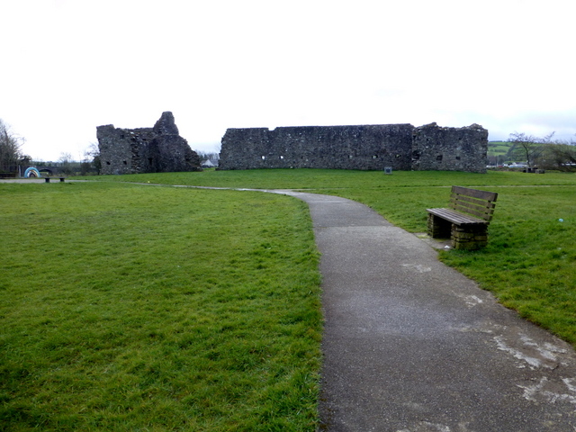 FORTIFIED HOUSE & BAWN: CASTLEDERG CASTLE in CastlesessaghFORTIFIED HOUSE & BAWN: CASTLEDERG CASTLE · 2 yd
 HISTORIC SETTLEMENT: CASTLEDERG, DERG BRIDGE, CASTLE-DERRICK or CHURCHTOWN in ChurchtownHISTORIC SETTLEMENT: CASTLEDERG, DERG BRIDGE, CASTLE-DERRICK or CHURCHTOWN · 187 yd
 Ulster BankBank · 232 yd
 Castlederg BridgeBridge · 296 yd
 ENCLOSURE in ChurchtownENCLOSURE · 675 yd
 ENCLOSURE in KilcroaghENCLOSURE · 1388 yd
 Dreenan WoodWood · 2.6 mi
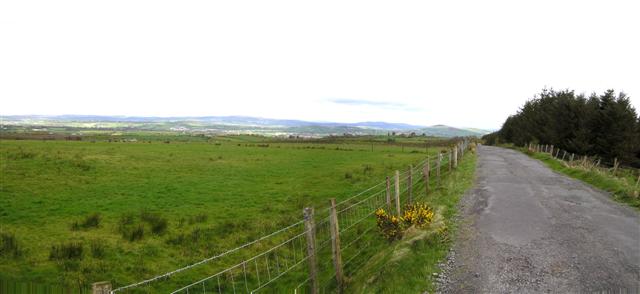 Fearn HillMountain / peak · 3.6 mi
 MullaghcroyMountain / peak · 4.6 mi
 BATTLE SITE: in 789 AD & BATTLE OF THE FORDS , Southern crossing, 1689 in Clady; DonnygowanBATTLE SITE: in 789 AD & BATTLE OF THE FORDS , Southern crossing, 1689 · 6.3 mi
 Sloughan GlenWood · 6.4 mi
 CHURCH; GRAVEYARD; CARVED STONE: HOLYWELL CHURCH in LackaghCHURCH; GRAVEYARD; CARVED STONE: HOLYWELL CHURCH · 7.1 mi
Other information
Photo: Kenneth Allen · CC BY-SA 2.0