What is recorded here
Burnt spread in Tyone (Lisbunny parish) is a burnt spread in Tyone (Lisbunny parish), County Tipperary, Ireland. In 2002, Ruth Elliott recorded two areas of burnt material and a post-medieval drainage or field ditch. The south-western area measured about 20 by 30 metres, showing irregular in situ burning and charcoal-rich soil with burnt edges.
In 2002 archaeological monitoring carried out by Ruth Elliott revealed two areas of burnt material and a post-medieval drainage or field ditch. This monitoring was carried out under Licence No. 02E1254 (Bennett 2004, 484). Area 2 in the south-western part of the site measured c. 20m x 30m and consisted of an irregularly shaped area of in situ burning and a number of features of charcoal-rich soil, some of which exhibited burning around the edges.
Compiled by: Caimin O'Brien.
Date of upload: 22 September 2008
The monument record does not grant public access. Check the route and ask the landowner before entering private land.
- What survives
- Recorded monument
Places near here
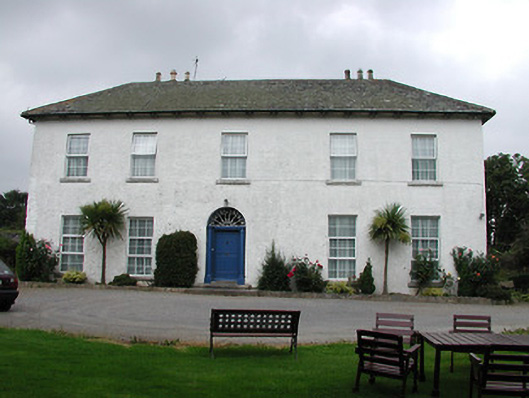 Tyone Housemill manager's house · 195 yd
 Tyone Br.Bridge · 339 yd
 Church (in Ruins)Graveyard · 1194 yd
 Hut site in BenedinHut site · 1309 yd
 CastleCastle, Anglo-Norman masonry castle · 1672 yd
 Nenagh CastleCastle · 1674 yd
 Nenagh Heritage CentreMuseum · 1.0 mi
 Old BarracksHeritage attraction · 1.1 mi
 Gibbet HillMountain / peak · 1.7 mi
 James Devaney MemorialMemorial · 3.7 mi
 Sweet ChestnutSweet Chestnut · 4.0 mi
 Our Lady Assumed into HeavenMemorial · 4.5 mi