What is recorded here
Burying Ground stands on a hillock at the NE end of Tynagh village, County Galway, holding inscribed markers from the mid-18th century. Most of those old stones lie broken against the W wall, while a large wooden crucifix still points to the lost church beside them. The graveyard is expanding northward, its new entrance cut into the roadway, proving that even death keeps growing in this restless place.
On a hillock in undulating pastureland at the NE end of Tynagh village. This rectilinear graveyard (c. 60m NE-SW; c. 45m NW-SE) is enclosed by a mortared stone wall capped with concrete. Access is gained via a gateway and stile at SW. Inscribed grave-markers date from the mid-18th century and most of these examples are lying against the W wall. A number of small uninscribed grave-markers are also visible. A large wooden crucifix marks the site of an associated church (GA117-094001-). On inspection the graveyard was being expanded to the N and most of the N wall had been removed. This extension is accessed by a new entrance and pathway off the roadway to the W.
Compiled by: Olive Alcock
Date of upload: 7 April 2020
The monument record does not grant public access. Check the route and ask the landowner before entering private land.
- What survives
- Recorded monument
Places near here
 Church in TynaghChurch · 553 yd
 Site of ToberelleenHoly well · 1369 yd
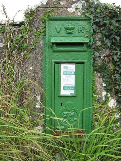 post boxpost box · 1509 yd
 Quarryhill WoodWood · 1758 yd
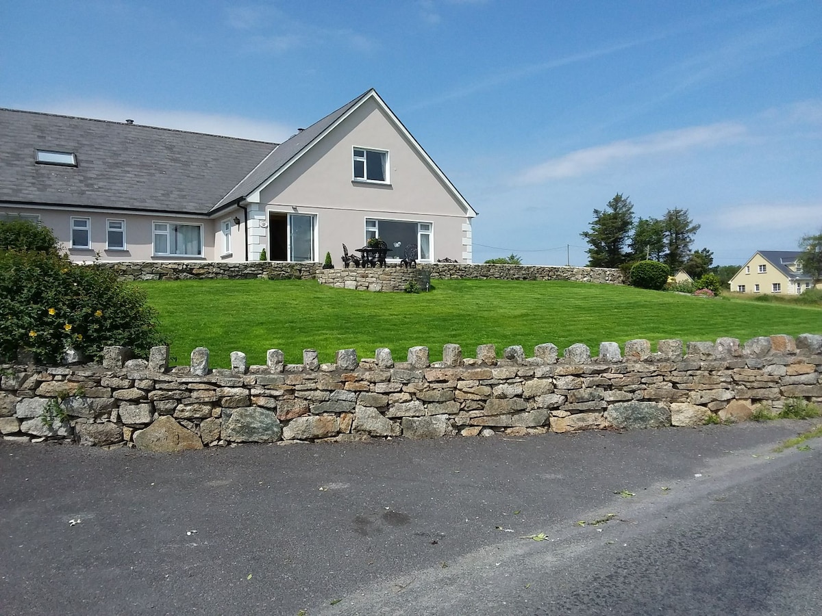 ‘Tobernaglora’Holy well · 1.0 mi
 Knockaunnageeragh Castle in ruinsCastle, unclassified · 1.1 mi
 Bog WoodForest · 1.5 mi
 Pallas CastleCastle, tower house · 1.7 mi
 Church HillMountain / peak · 4.8 mi
 Stonyisland BayBay · 6.0 mi
 TullymoreMountain / peak · 9.9 mi
 The bloody HollowHeritage attraction · 10 mi