What is recorded here
Fairy fort / earthen ringfort in Tunnagh (corran By.) is a fairy fort or earthen ringfort in Tunnagh (corran By.), County Sligo, Ireland. The circular earthwork measures 24 metres north-south and 24.6 metres east-west, with a narrow 1.6-metre-wide bank forming its western half and a 0.8-metre scarp marking the eastern edge. A field boundary cuts through the centre, while a telegraph pole stands on the western bank.
In pasture, on a low E-W ridge overlooked by a parallel higher ridge to N. A slightly raised circular area (24m N-S; 24.6m E-W) bisected by a NNE-SSW field boundary with a drain (W 1m; D 0.3m) on its E side. A narrow earthen bank (Wth 1.6m; int. H 0.3m; ext. H 0.8m) with an almost vertical external face defines the W half of the rath. The E half of the rath is defined by a scarp (H 0.8m) except ENE-ESE where a low rise remains. The interior is level. There is a slight hollow without clearly defined limits in the SE quadrant. A telegraph pole stands on the bank at W.
The above description is derived from the published 'Archaeological Inventory of County Sligo' compiled by Ursula Egan, Elizabeth Byrne, Mary Sleeman with Sheila Ronan and Connie Murphy (Dublin Stationery Office, 2005).
Date of upload: 18 January 2008
The monument record does not grant public access. Check the route and ask the landowner before entering private land.
- What survives
- Recorded monument
Places near here
 Indicated (1838).Fairy fort / earthen ringfort · 390 yd
 Enclosure in Cloonaraher (corran By.)Enclosure · 393 yd
 Bridge in Bellanalack,knockgrania (corran By., Kilturra Ed),knocknageeha (corran By.),rathbaun NorthBridge · 1.4 mi
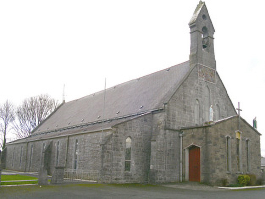 Saint Patrick's Catholic Churchchurch/chapel · 2.0 mi
 Ballyfahy Castle (in Ruins)Castle, unclassified · 3.2 mi
 Caves of KeshCave · 3.5 mi
 Moygara Castle (in Ruins)Bawn · 3.8 mi
 Kesh CorannMountain / peak · 4.0 mi
 School CaveCave · 4.5 mi
 Tymon's HillMountain / peak · 4.5 mi
 Brother WalfridMemorial · 4.6 mi
 Crow IslandIslet · 5.2 mi