What is recorded here
Towards the bottom of the NW-facing slope of a drumlin. Circular area (diam. 25m) defined by a scarp (H 0.2-1m) S-E which merges into the slope elsewhere with some coniferous trees on the perimeter. There is no visible fosse or identifiable original entrance. Rath (RO003-063----) is c. 120m to the NW and rath (RO004-043----) is c. 220m to the E.
Compiled by: Michael Moore
Date of upload: 24 August 2010
The monument record does not grant public access. Check the route and ask the landowner before entering private land.
- What survives
- Recorded monument
Places near here
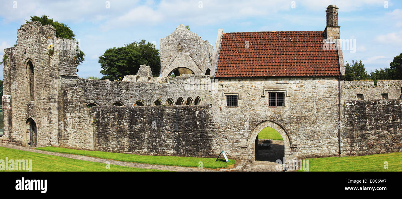 IndicatedFairy fort / earthen ringfort · 149 yd
 Megalithic structure in BallyformoyleMegalithic structure · 1.1 mi
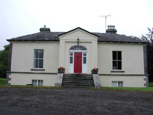 Riversdale Housecountry house · 1.5 mi
 Knockvicar BridgeOfficially recorded historic building · 1.6 mi
 Errironagh WoodForest · 2.5 mi
 Lahan IslandIslet · 2.6 mi
 Knockranny WoodsForest · 2.6 mi
 Turlough O'CarolanMemorial · 2.9 mi
 Ash IslandsIslet · 3.0 mi
 Longford HillMountain / peak · 3.1 mi
 Battle of Áth an Chipbattle · 3.7 mi
 Lough Key Forest ParkWood · 3.9 mi