What is recorded here
Four Graves marks a lost burial line on the east bank of a small Galway stream, preserved only in an old map and a forgotten boundary. The place still belongs to the living because people once laid out death with care, watched the water carry rain past the marks, and trusted the field to keep them safe. Nothing visible remains, yet the name still points to four shapes in dark soil, waiting beneath grass and time.
On E bank of a small stream which also marks the td. boundary. Indicated on 1st ed. of OS 6-inch map as four small rectangles, aligned E-W. No visible surface trace survives.
The above description is derived from the published 'Archaeological Inventory of County Galway Vol. I - West Galway'. Compiled by Paul Gosling (Dublin: Stationery Office, 1993).
Date of upload: 05 August 2010
The monument record does not grant public access. Check the route and ask the landowner before entering private land.
- What survives
- Recorded monument
Places near here
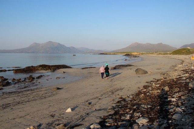 Renvyle BeachBeach / strand · 471 yd
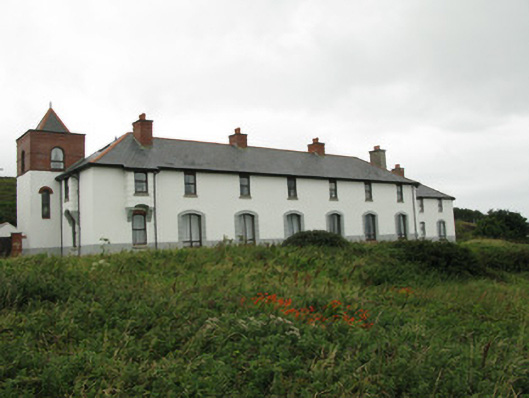 coastguard stationcoastguard station · 750 yd
 IndicatedChurch · 1053 yd
 Green IslandIslet · 1509 yd
 Bushy IslandIslet · 1576 yd
 Enclosure in CloonlooaunEnclosure · 1.0 mi
 Enclosure in DerryinverEnclosure · 1.3 mi
 Tully MountainMountain / peak · 1.6 mi
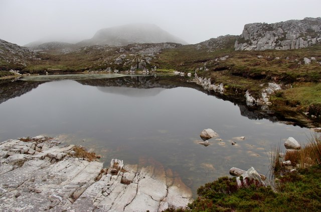 Tully Mountain WestMountain / peak · 1.9 mi
 Rinvyle Castle (in ruins)Castle, tower house · 1.9 mi
 Renvyle CastleCastle · 1.9 mi
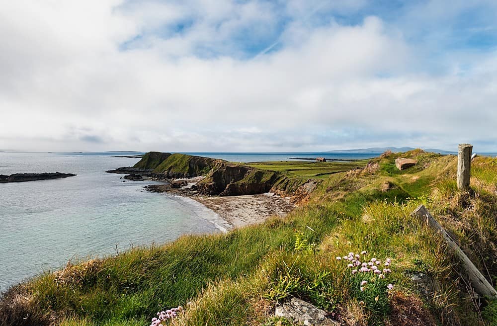 Rinvyle PointHeadland · 2.7 mi